
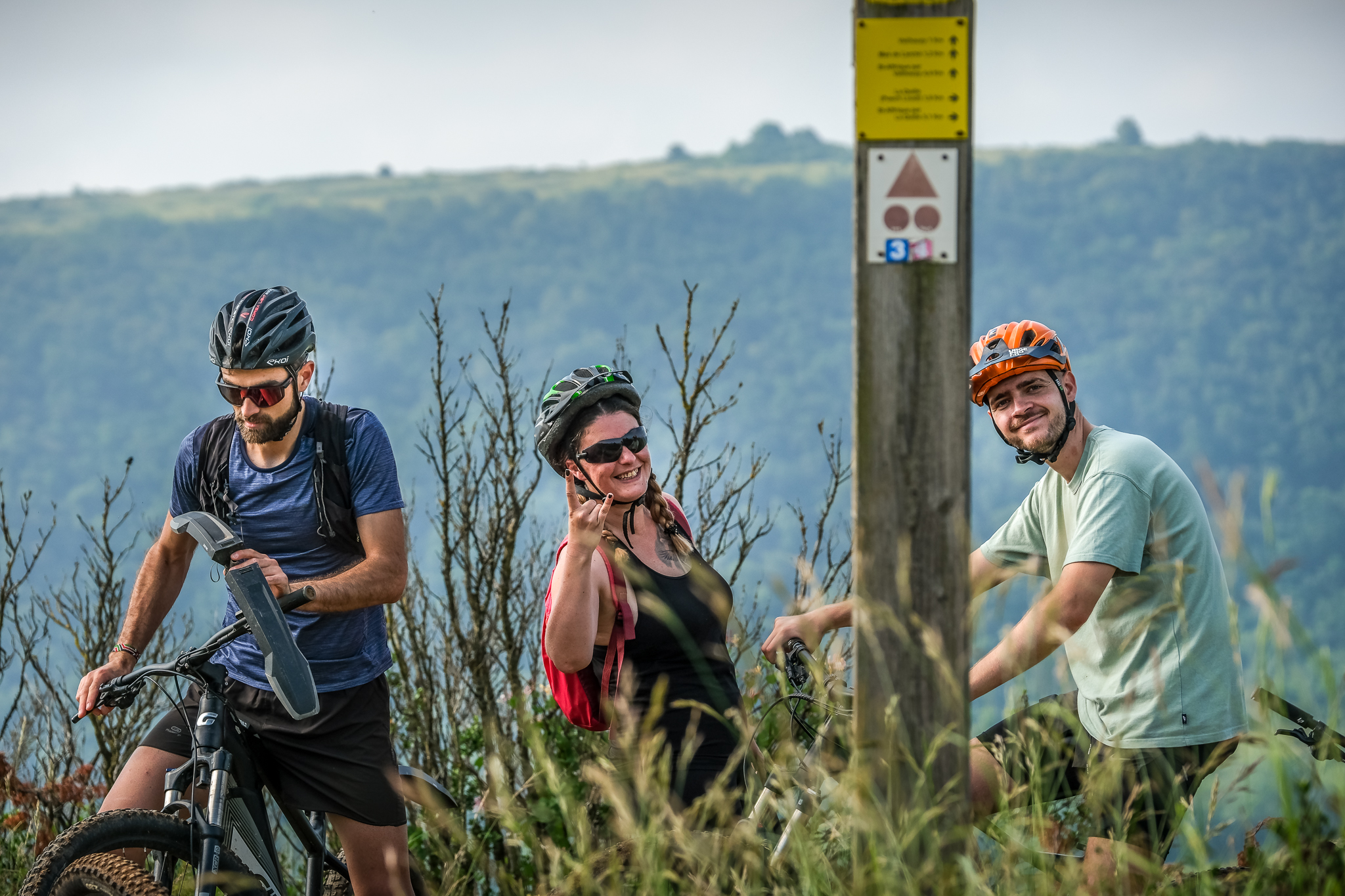
VTT N°03 - The English Mountain
A climb through a valley accessible to all, a detour to the Tiergues dolmen, then across the plateau, where flocks of sheep may accompany you near the farms, followed by a buissière… The rocky descent to Vailhauzy and its château is the only slightly challenging section of this route, which rewards you with beautiful panoramic views over the foothills of the Causses.
1 point of interest
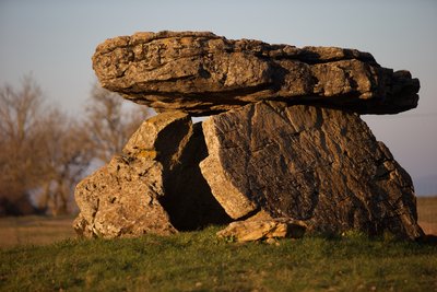
Dolmen de Tiergues - David Potron  Dolmen
Tiergues dolmen
With nearly 1,000 dolmens, Aveyron is the French department with the highest number of these prehistoric monuments. Contrary to popular belief, they were not built by the Celts, but by Neolithic communities more than 4,500 years ago.
The word “dolmen,” meaning “stone table” in Breton, refers to prehistoric collective burial sites. Listed as a historic monument, the Tiergues dolmen is one of the most remarkable in Aveyron. Explored in the 20th century by archaeologist Émile Cartailhac, it bears witness to the beliefs and funeral practices of our distant ancestors. Nestled in a preserved natural setting, this site offers a true journey into the heart of prehistory.
Description
The recommended starting point is on Rue du 12 Étoiles, at the mountain bike station. You can also start directly from Place François Fabié.
- Take the greenway towards Saint-Affrique, then follow the MTB signs until you reach the D50. Continue for 2.5 km to Moulin du Juge.
- Before crossing the small bridge, take the trail on your right.
- After climbing back up the valley, take the trail on your left towards the Tiergues dolmen. Once you have passed the dolmen, turn right onto the road to reach the village of Tiergues.
- Go through the village, then at the next junction turn left towards Canissac.
- Cross the road to reach the Canissac farm.
- Go around the farm on the left, joining a wide track. Take the opportunity to admire the foothills of the Causses, including Combalou, home to the village of Roquefort, famous for its renowned cheese.
- A buissière, a trail lined with boxwood, leads you to the edge of the plateau. Then take the wide track on your right towards the Puech Loudi pylon. Enjoy the stunning views over Saint-Affrique and the surrounding area.
- On the descent, follow a wide track for 1 km before a left-hand bend takes you onto a superb woodland singletrack.
- At the end of the singletrack, take the road on your left and follow the signs towards Saint-Affrique.
- Departure : Mountain Bike Station, rue du 12 Étoiles, Saint-Affrique
- Arrival : Mountain Bike Station, rue du 12 Étoiles, Saint-Affrique
- Towns crossed : Saint-Affrique
Forecast
Altimetric profile
Recommandations
Crossing of the D993.
Technical descent to Vailhauzy, don’t hesitate to get off your bike.
Bring a supply of water and suitable clothing.
Information desks
Saint-Affrique Tourist Office
Boulevard Aristide Briand, 12400 Saint-Affrique
OPENING TIMES:
The Tourism Office is open all year round, the opening hours are:
·July and august:
From Monday to Saturday: 9h – 13h & 15h – 19h
Sunday: 9h – 13h
·From September to June:
From Tuesday to Saturday: 9h – 13h & 14h – 17h
Closed: Sundays, Mondays and bank holidays
From November to April, the office is also closed on Saturday afternoon.
Transport
All the information is available on the Tourist Office website.
Access and parking
Saint-Affrique, 31 km south-west of Millau via the D992 and D999.
From Clermont-Ferrand and Montpellier, take the A75, exit 46, then the D999.
From Toulouse/Albi, take the D999.
Parking :

Report a problem or an error
If you have found an error on this page or if you have noticed any problems during your hike, please report them to us here: