The Guilhaumard Plateau
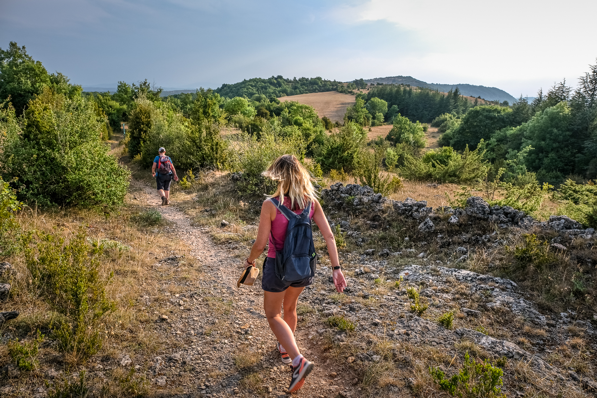
Overlooking the Sorgues and Orb valleys, the Guilhaumard plateau features a characteristic landscape and relief, from dolines and caves, from ruiniform chaos to natural meadows. Following the itinerary, discover the resurgence of the Sorgues river as well as a wide range of remarkable flowers: pulsatile anemona, woodcock ophrys, Geneva bugle...
Description
1 - From the walkers’ car park, cross the track and take in front a rocky path, then, a path that, further, goes down to the farm of les Aires. Take it on left on 200m.
2- Before the farm, turn right on the trail and go down to Sorgues.
The Sorgues resurgence is just before the hamlet on the left (go and back).
3 – Cross the hamlet and continue on the road on 2,5km. Turn left to La Mouline, pass over the Sorgues and then continue towards Saint-Rome-de-Berlières, on 800m.
4 - Turn on the left hairpin road, ford the stream and continue on the dirt track. Turn left on a path in the middle of boxwood and juniper, then follow the shaded path which climbs and arrives on the plateau at the “Pas de Tirecul”.
5 – On the plateau, (you can observe in spring and in the beginning of summer a lot of orchids), turn left and walk along the edge of the plateau walking on tracks or old “caussenard” paths to join the Mas Raynal.
6 – Take the road in direction of Cabanes. Before the hamlet, turn right on the track and follow it on 500m to reach the car park.
- Departure : Walkers' parking 500 m before Mas Raynal
- Arrival : Walkers' parking
- Towns crossed : Cornus and Fondamente
Forecast
Altimetric profile
Recommandations
1 to 5 : yellow
5 to 1 : white -red
Provide binoculars and carry water.
Information desks

Tourist Office Larzac et Vallées
Place du Claux, 12230 NANT
Located on the ground floor of the Town Hall (mansion of the 18th century), The Tourist Office welcomes you all year and offers tourist information on the Larzac and its valleys, the department of Aveyron, and also on neighboring counties. Free Wifi access.
Opening hours :
From Novembre to February: Tuesday morning 9:00-12:30
March and October : Tuesday to Friday 9:00-12:30
April : Tuesday to Friday 10:00-12:30 and 14:00-17:30
May, June : Tuesday to Saturday 10:00-12:30 and 14:00-17:30
July and August : every day 09:00-13:00
September : Tuesday to Saturday 10:00-12:30 and 14:00-17:30
Transport
Access and parking
Parking :

Report a problem or an error
If you have found an error on this page or if you have noticed any problems during your hike, please report them to us here: