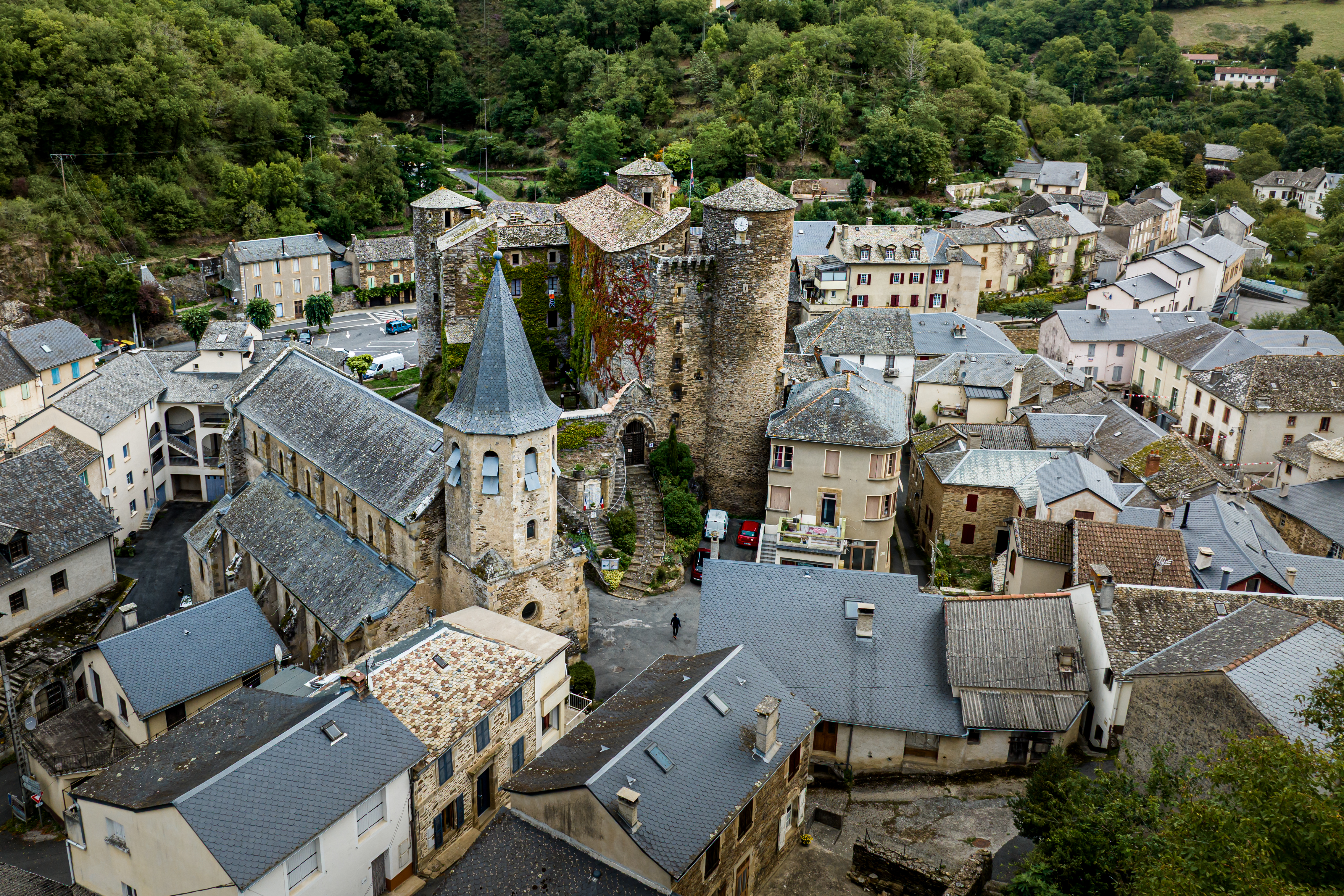
Vérouls hiking path
Description
- From the Circuit Information point, take the R. Bel avenue towards Montclar. Just outside the village, turn left and head for the Masnaut outdoor activities centre.
- Walk along the side of the lake up to the car park, then as you approach the gateway, walk beside the brook on its right bank. Where path and brook come together (don’t forget waterproof shoes in case of rainy weather) keep going ahead, then leave the path to turn onto a trail. At the junction take the left trail towards the hamlet of La Vaysse where you can enjoy the beautiful waterfall.
- As you walk through the hamlet, pay attention to the marking so as not to miss a large stone Maltese cross. Once you reach it, walk to the right, which takes you towards the plateau. Walk across the road that gives access to la Calmette and keep going up to a road running alongside a wood of fir trees and beeches. Walk to the left, then turn left again along a fence to reach a Maltese cross where you cross the D194 to take the road towards Moussac. From there, you can see the hamlet of Vérouls.
- 500 m before the hamlet of Moussac, notice a junction with a cross. Turn to the left on a path and make your way through the fields. Walk along the edge of the wood and follow a path to the right across the woodland.
- Once you are deep inside the woods take the left hand trail going down to Coustou Le Haut where you will find an enclosed field. Follow the track for 50 m then take the left hand path through the undergrowth.
- Departure : Post Office car park
- Arrival : Post Office car park
- Towns crossed : Coupiac and Brasc
Altimetric profile
Recommandations
In case of rainy weather and a subsequent rise in water levels, do not embark on this circuit, because you will not be able to walk across the streams.
Box tree moths are active from May to October. During the caterpillar phase, they feed on the leaves of box trees. They crawl down trees and move on long silken threads, although these threads are annoying when hiking they do not pose any health risk
Transport
Travel by bus or train: https://lio.laregion.fr/
Carpooling : BlaBlaCar, Rézo Pouce, Mobicoop, Idvroom, LaRoueVerte, Roulez malin
Access and parking
Coupiac is a 45 minute drive from Albi or St-Affrique.
From St Sernin sur Rance, take the D33 up to Coupiac (approximately a 20 minute drive)
Parking :
Report a problem or an error
If you have found an error on this page or if you have noticed any problems during your hike, please report them to us here:
