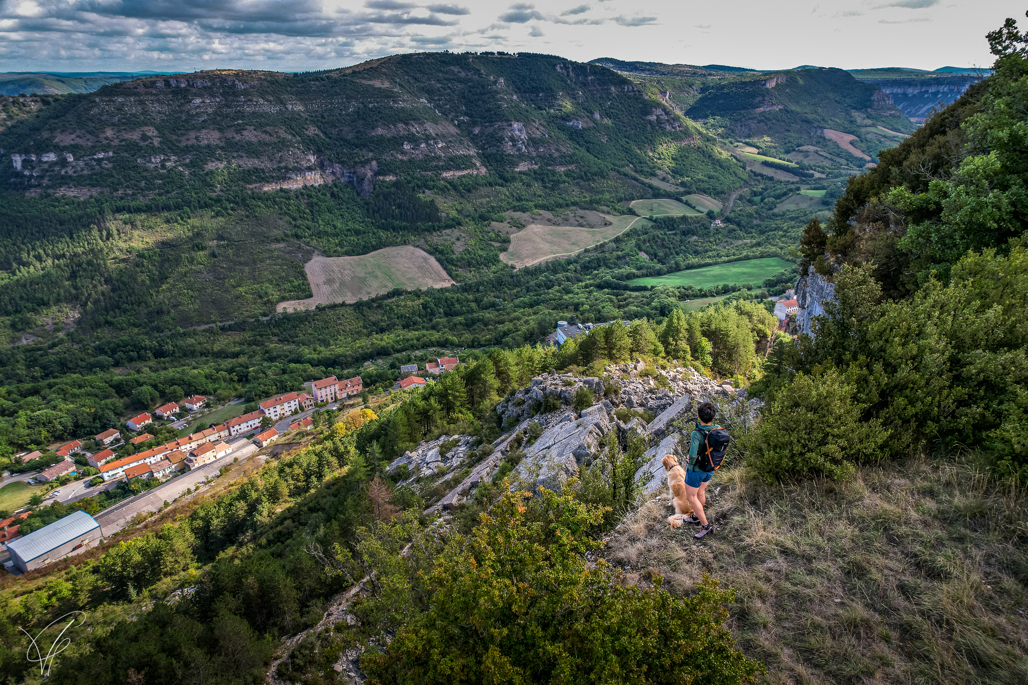
The ladder path
4 points of interest
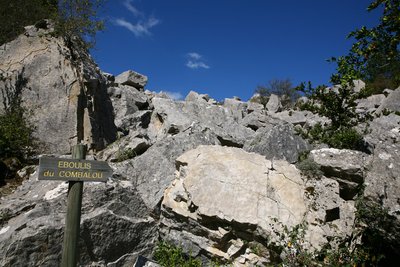
Ébouli du Combalou - Roquefort Tourisme  Geology
The Combalou scree slope
The imposing rocky chaos that surrounds us comes from the numerous and profound movements that the plateau of Combalou has undergone: landslides, rockslides, erosion… The diagram highlights the primitive and current structures of the whole Combalou plateau.
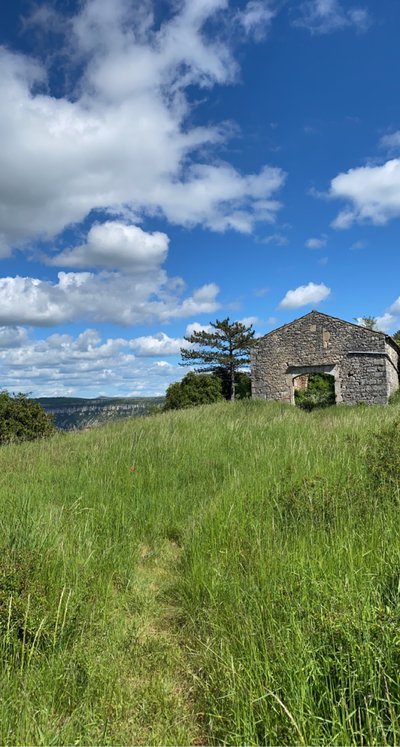
Jasse du Combalou - Roquefort Tourisme  Agropastoralism
The Combalou Jasse
Once the milking season was over, shepherds and their flocks would reach the Combalou pastoral routes via the slopes to the rear of the Combalou plateau rather than climbing up the cliff using the ladders. Shepherds used these ladders to scale down directly to Roquefort and climb up the same pathways when the ewes needed to be sheltered in the jasse. The flocks would be kept on the plateau until the first cold of autumn.
The jasse was a two storey building: the ground-floor consisted of two sheepfolds, one of which had a vaulted ceiling, the first floor was a huge barn used to store the hay.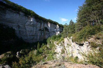
Le Saut de Bailhol - Roquefort Tourisme  Geology
Sotch de Balhol
The cliff towering over our heads is really impressive with its steepness, the smooth appearance of the rock and the feeling of solidity it conveys. Actually, the huge screes we are walking on have been created by a rockslide. The bottom of this valley is called “sotch”, which is the local name for sinkholes
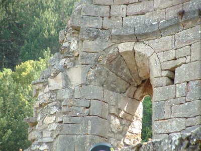
Chapelle Saint-Pierre - Roquefort Tourisme  History and heritage
La chapelle Saint-Pierre du XIe siècle coiffe le rocher en éperon du même nom. C'était la chapelle du château qui ne fût jamais
The Saint-Pierre chapel dates back to the 11th century and is located on top of a rocky spur of the same name. It was the chapel of the castle and was never a parish church. The castle, which dates from the same period, was attached to the rocky vertical face (remains of a tower). The structure of the chapel is made with a fine stone-setting and is proof of the quality of the construction of this small religious building. The squat and vaulted semi-dome choir was restricted by a semicircular arch with an enlarged triumphal arch that stood in front of it and led to the short nave.
Description
- From the Tourist Office carpark, walk across the road near the bus stop and walk up the rising path running alongside the graveyard. When the path meets the tarmacked road, turn right then first left following the hairpin bend. 300 m further on, take the fork to the left up to a drinking water fountain.
- Take the small path that slopes up to the right towards the Combalou plateau.
- At the base of the scree, first walk uphill to your right, then scale across it.
- Once you get across the scree, carry on along a marked path that joins a track through box trees following the contour line.
- When you arrive at the far end of the Combalou, walk uphill until you reach the pierced rock and take the metal staircase.
- When you get to the plateau, head East in the direction of the relay masts, once you have reached them, carry on to your right for 200 m and at the hairpin bend fork to the left on the path that leads to the jasse (sheepfold).
- Walk between the Jasse and the edge of the plateau, keep on walking along the plateau and take a trail through the pinewood. Start walking downhill until you reach the Aiguières pass.
Head towards Roquefort and carry straight on past the “Sotch de Balhols” (large geological fault) and walk down to the Saint-Pierre chapel (a flight of steps to the left gives access to a viewpoint indicator). Once you’ve enjoyed the view, descend the steps, and then go to your left down the Créance street and then up the Baragnaudes street which rises up onto the opposite side towards the Quille des Baragnaudes which are impressive vertical monoliths. Walk past the Quilles, then along the cliff and climb down the steps. - At the bottom of the steps, take the right and immediately after turn to the left to pass under a porch to get back to the avenue de Lauras that will lead you to the Tourist Office from where you started your hike.
- Departure : Tourist Office
- Arrival : Tourist Office
- Towns crossed : Roquefort-sur-Soulzon
Altimetric profile
Recommandations
Information desks
Avenue de Lauras, 12250 Roquefort/Soulzon
Situated in the Grands Causses Regional Natural Park, the cheese village of Roquefort stretches on the hillside over the famous scree of the Combalou Rock, in southern Larzac. The village is at an elevation of 630 m and has 700 inhabitants.
OPENING PERIODS:
The Tourist Office is open all year round:
- In July and August, Monday to Saturday: 9.30 to 18.30, Sunday: 10.00 to 17.00.
- April, May, June, September, October; Monday to Saturday: 9.30 to 12.15 & 13.00 to 17.30, closed on Sunday.
- January, February, November, December; Monday to Friday: 9.30 to 12.15 & 13.00 to 17.00, closed on Saturday and Sunday.
Transport
Travel by bus or train: https://lio.laregion.fr/
Carpooling : BlaBlaCar, Rézo Pouce, Mobicoop, Idvroom, LaRoueVerte, Roulez malin
Access and parking
Parking :
Source

Report a problem or an error
If you have found an error on this page or if you have noticed any problems during your hike, please report them to us here:

