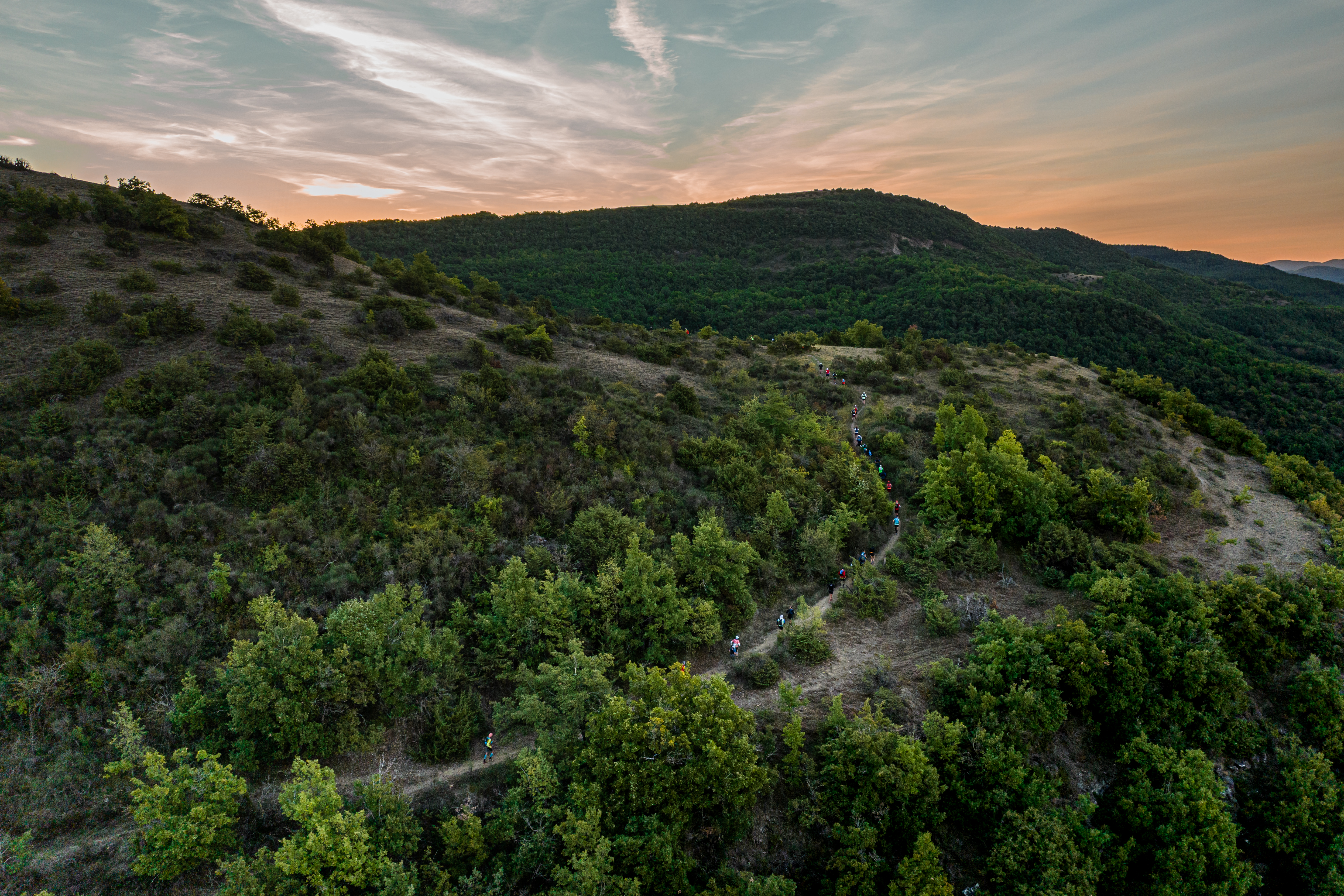
The Loubière plateau via the Frégière
The village of Lapeyre, situated in the Sorgues valley, offers you to stride along the foothills of the Loubière plateau via the Frégière former plaster mine. This hiking loop follows rural and wooded trails, and on the way back, goes through a buissière (narrow passage between two lines of boxtrees). As you get closer to the plateau, look for the early signs of a changing landscape: the Rougier and its typical wine-coloured rocks are not far from here!
Description
- From Lapeyre to the Croix del Pas : from the carpark, take right the D92 for a few metres then, fork to the right on the « la Mine » path which runs along the Frégière ravine and passes close to the former plaster mine. Carry on the path which goes parallel to the fields and leave to the right the Clipis trail. When you reach the Puech Mets farm, do not enter the hamlet, but carry straight on towards the buissière. Follow trail markings up to the Croix del Pas.
- From the Croix del Pas to the Serre des Cabros : at the pass take the most left track that runs through a wooded area and goes along a field. At the junction with the trail, take right for a few dozen metres a narrow footpath that leads to a scenic view over the Rougier and the castle of Montaigut. Walk back to the wide trail up to a signpost indicating Lapeyre.
- From the Serre des Cabros to Lapeyre : take the track that that runs downhill through box trees up to the road to Puech Mets, cross the road and take opposite the path which leads to the D92 and joins Lapeyre.
- Departure : Parking area at the graveyard in Lapeyre
- Arrival : Parking area at the graveyard in Lapeyre
- Towns crossed : Versols-et-Lapeyre and Gissac
Forecast
Altimetric profile
Recommandations
Box tree months are active from May to October. During the caterpillar phase, they feed on the leaves of box trees. They crawl down trees and move on long silken threads, although these threads are annoying when hiking they do not pose any health risk
Information desks

Avenue de Lauras, 12250 Roquefort/Soulzon
Situated in the Grands Causses Regional Natural Park, the cheese village of Roquefort stretches on the hillside over the famous scree of the Combalou Rock, in southern Larzac. The village is at an elevation of 630 m and has 700 inhabitants.
OPENING PERIODS:
The Tourist Office is open all year round:
- In July and August, Monday to Saturday: 9.30 to 18.30, Sunday: 10.00 to 17.00.
- April, May, June, September, October; Monday to Saturday: 9.30 to 12.15 & 13.00 to 17.30, closed on Sunday.
- January, February, November, December; Monday to Friday: 9.30 to 12.15 & 13.00 to 17.00, closed on Saturday and Sunday.
Transport
Travel by bus or train: https://lio.laregion.fr/
Carpooling : BlaBlaCar, Rézo Pouce, Mobicoop, Idvroom, LaRoueVerte, Roulez malin
Access and parking
From Saint-Affrique, follow the D7 towards Cornus. Once in Lapeyre, which is the first village you drive through, turn right towards Gissac and park your vehicle next to the graveyard.
Parking :
More information
Source

Report a problem or an error
If you have found an error on this page or if you have noticed any problems during your hike, please report them to us here: