
Algues via Fougayrolles
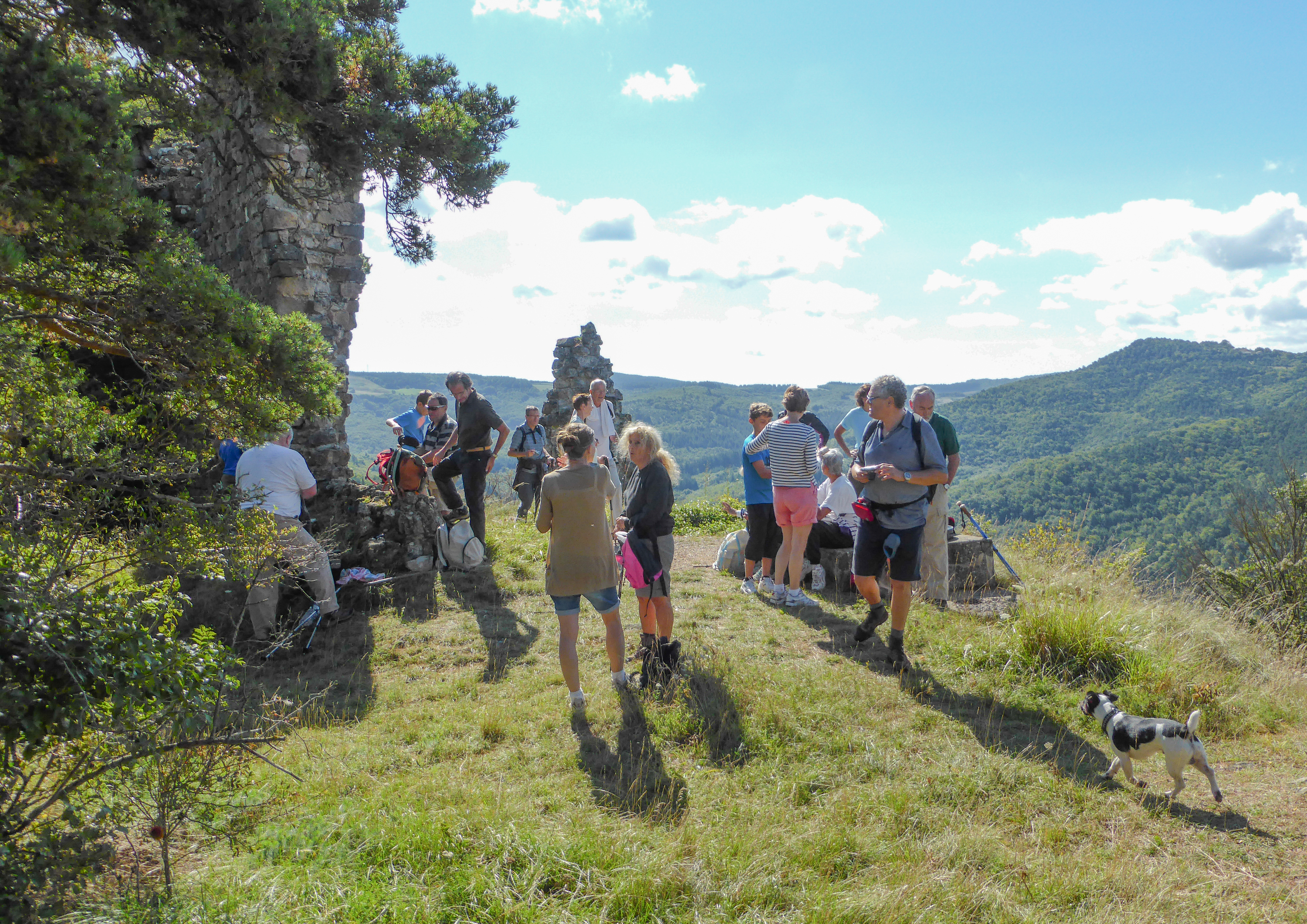
Starting from Saint-Jean-du-Bruel, the gradual ascent to the Castlle of Algues begins with a stroll through the forest. The ruins of this medieval castle stand proudly facing the Causse Bégon, a small limestone plateau, and the first peaks of the Cévennes mountains. Treat yourself to a delightful hike on the edge of the Grands Causses region!
Description
- From the market hall, follow the road towards Nant for 400 meters until you reach the edge of Saint-Jean du Bruel.
- At the yellow house, take the ramp on the left (the path may appear private, but it is actually a public path), continue uphill into the forest, cross a boxwood hedge, then follow the edge of the cultivated field to the left until you reach the water reservoir and continue along the path to the crossroads.
- Turn right towards Fougayrolles.
- In Fougayrolles, follow the signs for "Algues variante". Enjoy the pleasant path through the woods until you reach the junction with the route coming from Castelnau.
- Turn left towards Algues; a short signposted detour leads to the castle ruins. Back on the road, cross the hamlet to reach the Algues cross, then turn left towards the crossroads.
- At the crossroads called "Quatre chemins"*, continue straight ahead along the edge of the field. This path leads you to point 3.
Return to the village via the same route you took at the start.
* From the "Quatre Chemins" crossroads , there are two other options to reach Saint-Jean du Bruel:
- The path on the left leads to the hamlet of Fougayrolles.
- The path on the right allows you to reach the village via La Loubière.
Recommendations:
The heritage of the Grands Causses Regional Natural Park is rich but fragile. Please respect nature: be discreet, close gates and fences behind you, do not pick flowers, keep dogs on a leash, and do not litter.
- Departure : Saint-Jean du Bruel
- Arrival : Saint-Jean du Bruel
- Towns crossed : Saint-Jean-du-Bruel and Nant
Forecast
Altimetric profile
Recommandations

Information desks

Tourist Office Larzac et Vallées
Place du Claux, 12230 NANT
Located on the ground floor of the Town Hall (mansion of the 18th century), The Tourist Office welcomes you all year and offers tourist information on the Larzac and its valleys, the department of Aveyron, and also on neighboring counties. Free Wifi access.
Opening hours :
From Novembre to February: Tuesday morning 9:00-12:30
March and October : Tuesday to Friday 9:00-12:30
April : Tuesday to Friday 10:00-12:30 and 14:00-17:30
May, June : Tuesday to Saturday 10:00-12:30 and 14:00-17:30
July and August : every day 09:00-13:00
September : Tuesday to Saturday 10:00-12:30 and 14:00-17:30
Transport
To travel by bus or train, by carpooling Aires de covoiturage and hitchhiking Rezopouce.
Access and parking
40km southeast of Millau via the D809 and D999 (Larzac plateau) or via the D991 and D999 (Dourbie gorges).
Parking :
Source

Report a problem or an error
If you have found an error on this page or if you have noticed any problems during your hike, please report them to us here: