Timed downhill of the Mur de la Loubière (Trail running)
Versols-et-Lapeyre
Timed downhill of the Mur de la Loubière (Trail running)
Easy
0h30
5,1km
+7m
-400m
Downhill
Embed this item to access it offline
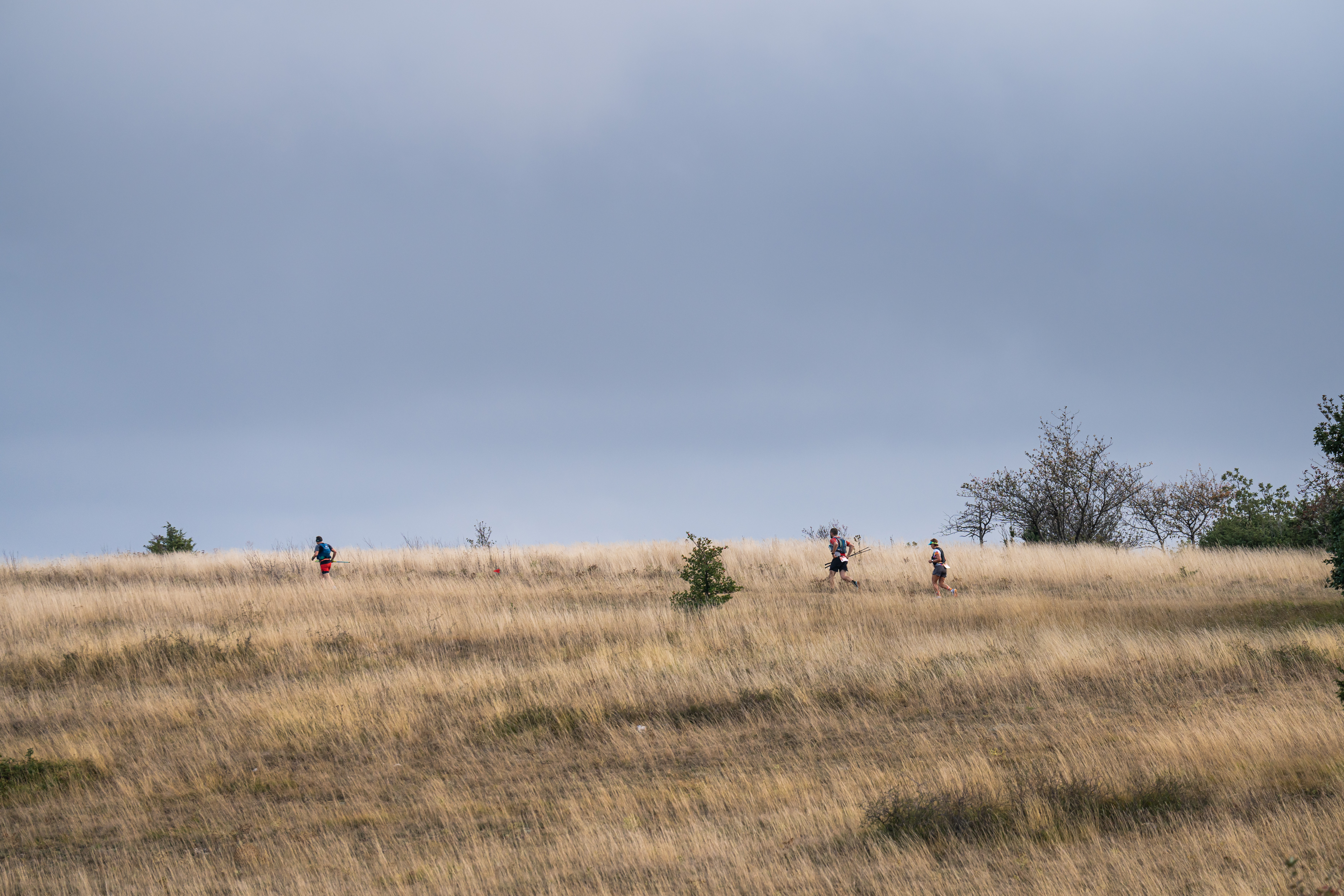
Clock a time and run during a timeless course… You are an experienced trail runner and you’ve just scrambled up the steep mur de la Loubière. Stage two is less intensive: on your way back, you run across the plateau which displays a wealth of wild orchids, along magnificent vistas over the crests, up to the Croix del Pas, which is the starting point of the downhill. A perfect circuit to take a breath of fresh air!
Description
- Arriving from the "Chrono Mur de la Loubière", follow the marking signs towards the Croix del Pas.
- Take to the right at the cross and follow the route indicating "Lapeyre par Puech Mets"
- Go down the track suitable for vehicle up to the Lapeyre graveyard where the carpark is situated
- Departure : Plateau de la Loubière
- Arrival : Lapeyre - Cimetary carpark
- Towns crossed : Versols-et-Lapeyre and Gissac
Forecast
Altimetric profile
Recommandations
Bring one litre of water supply – energy food supply.
Ensure you have good shoes; bear in mind that the path is rather stony and runs on steep slopes.
Information desks

Saint-Affrique Tourist Office
Boulevard Aristide Briand, 12400 Saint-Affrique
OPENING TIMES:
The Tourism Office is open all year round, the opening hours are:
·July and august:
From Monday to Saturday: 9h – 13h & 15h – 19h
Sunday: 9h – 13h
·From September to June:
From Tuesday to Saturday: 9h – 13h & 14h – 17h
Closed: Sundays, Mondays and bank holidays
From November to April, the office is also closed on Saturday afternoon.
Access and parking
Parking :
Cimetary carpark
Report a problem or an error
If you have found an error on this page or if you have noticed any problems during your hike, please report them to us here: