The three Valleys
In the middle of a red soil and wooded glen landscape, a whole architectural and industrial heritage awaits you: the castle of Saint-Izaire, an ancient sand pit, a former railway line and the hamlet of Janolles with its 16th century buildings. A hike located at the confluence of the Dourdou, Gos and Tarn rivers and during which times are intertwined.
2 points of interest
Chaussée du Moulin de Saint-Izaire - Roquefort Tourisme  History and heritage
The Saint-Izaire Mill
Mentioned as early as 1461, the Saint-Izaire mill was once used to grind wheat for the village inhabitants. A witness to the area’s rural past, it has endured through the centuries by adapting to the needs of each era.
Today, this historic mill operates as a small hydroelectric power station, continuing its energy-producing role at the heart of the village.
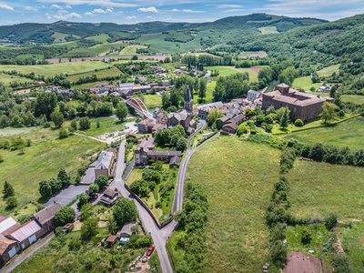
Village de Saint-Izaire - Virginie Govignon History and heritageVillage of Saint-Izaire
Saint-Izaire is a fortified village whose history is closely linked to its episcopal castle, the former summer residence of the bishops of Vabres. Mentioned as early as 862, the village gradually surrounded itself with ramparts during the 12th century to protect its inhabitants from feudal conflicts.
After the Wars of Religion, the fortifications lost their defensive role: openings were made in the walls, and some fortified gates were altered to allow carts to pass and houses to expand. Despite these changes, the layout of the streets, alleys, and houses has remained almost unchanged since the Middle Ages. The 15th- and 16th-century façades and windows still give the village its historic charm today.
Description
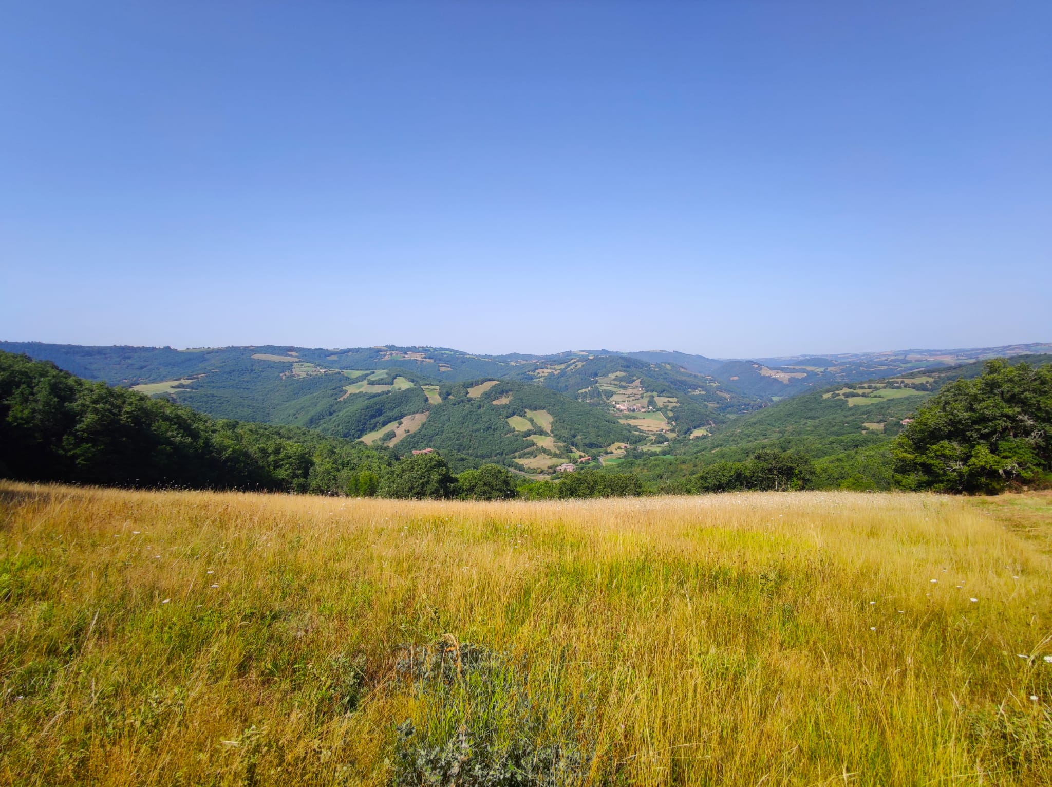
- Take the road towards Faveyrolles up to the first intersection, then fork to the right on a dirt road for 800 m (scenic view over the village). Reach the disused "Le Graudenc" farm building, carry on towards the culminating point at the foot of a high-voltage tower, then walk down the Gos creek valley and enjoy an extensive scenic view over the distant horizon.
- After a steep slope between two fields, fork to the left at the intersection right by the small stone cross. Walk past dilapidated buildings and follow the track down to the valley. On the valley bottom, right at the intersection, take a hairpin bend to the right above the sandpit which can be seen 50 m further.
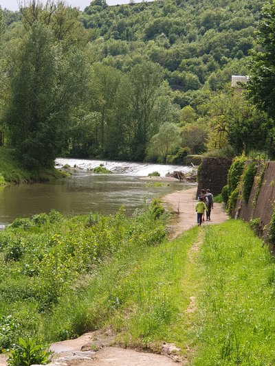
- Walk along the shady bank of the Tarn river and through the hamlet of Les Alverhnes. After a 300 m section of tarmac road, go down to the left and pass under the stone bridge of the former railway.
- Go to the left of the tunnel along the Dourdou river and carry straight on, leaving to the left a nice private bridge over the Dourdou river next to the hamlet of Janolles. Follow the river and pass under another bridge of the former railway, then get back to the tarmac road.
- Take to the left towards the Mas de Gascuel. Walk along the farm and take the gently sloping dirt road that leads you back to the village of Saint-Izaire.
- Departure : Village square in Saint-Izaire
- Arrival : Village square in Saint-Izaire
- Towns crossed : Saint-Izaire
Forecast
Altimetric profile
Recommandations
Box tree months are active from May to October. During the caterpillar phase, they feed on the leaves of box trees. They crawl down trees and move on long silken threads, although these threads are annoying when hiking they do not pose any health risk
Information desks

Avenue de Lauras, 12250 Roquefort/Soulzon
Situated in the Grands Causses Regional Natural Park, the cheese village of Roquefort stretches on the hillside over the famous scree of the Combalou Rock, in southern Larzac. The village is at an elevation of 630 m and has 700 inhabitants.
OPENING PERIODS:
The Tourist Office is open all year round:
- In July and August, Monday to Saturday: 9.30 to 18.30, Sunday: 10.00 to 17.00.
- April, May, June, September, October; Monday to Saturday: 9.30 to 12.15 & 13.00 to 17.30, closed on Sunday.
- January, February, November, December; Monday to Friday: 9.30 to 12.15 & 13.00 to 17.00, closed on Saturday and Sunday.
Transport
Travel by bus or train: https://lio.laregion.fr/
Carpooling : BlaBlaCar, Rézo Pouce, Mobicoop, Idvroom, LaRoueVerte, Roulez malin
Access and parking
Parking :
More information
Source

Report a problem or an error
If you have found an error on this page or if you have noticed any problems during your hike, please report them to us here: