The Jouvayrac trail
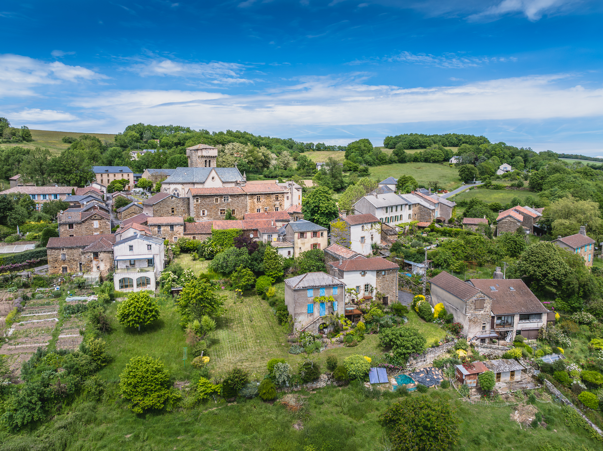
Martrin welcomes you to enjoy a great getaway on the other side of the plateau that overlooks the village. This hiking loop leads you from small valleys to hamlets and takes you across a beautiful chestnut grove which was formerly owned by the Martrin Commandery. The scenery from the crest walking trail is really breathtaking, but remember to save some energy for the final slope!
Description
- In the Martrin village square, head your way towards the Grande Croix which is situated in the upper part of the village in the direction of Coupiac, then pass between the two houses and carry on above the stadium. Take to the left towards the plateau overlooking the village.
- Once you have reached the crest walking trail, take to the right towards La Bertarié. When the weather is fine, the site offers a breathtaking scenery.
- At the tarred track, take right for a few metres and at the intersection with the dirt road, turn to the left. You will then catch sight, further down to the right of the roof of the St Clément sanctuary fountain covered with old slatestones. The path then runs down to the bottom of the valley before rising uphill towards la Frayssinette.
- When leaving the farm, walk above the stable and follow to the left the dirt road that winds its way up to the woodland below the Mas de Clary and the Glauzure. The hamlet of Jouvayrac will soon be within your sight.
- In the hamlet, take to the left the path that slopes down towards the brook. The path rises throughout a beautiful chestnut grove that was in former times owned by the Martrin Commandery.
- Towns crossed : Martrin
Forecast
Altimetric profile
Information desks

Avenue de Lauras, 12250 Roquefort/Soulzon
Situated in the Grands Causses Regional Natural Park, the cheese village of Roquefort stretches on the hillside over the famous scree of the Combalou Rock, in southern Larzac. The village is at an elevation of 630 m and has 700 inhabitants.
OPENING PERIODS:
The Tourist Office is open all year round:
- In July and August, Monday to Saturday: 9.30 to 18.30, Sunday: 10.00 to 17.00.
- April, May, June, September, October; Monday to Saturday: 9.30 to 12.15 & 13.00 to 17.30, closed on Sunday.
- January, February, November, December; Monday to Friday: 9.30 to 12.15 & 13.00 to 17.00, closed on Saturday and Sunday.
Transport
Travel by bus or train: https://lio.laregion.fr/
Carpooling : BlaBlaCar, Rézo Pouce, Mobicoop, Idvroom, LaRoueVerte, Roulez malinAccess and parking
From Millau, take the D992 and D999; from Clermont-Ferrand and Montpellier, via the A75, exit 46, then take D999; from Toulouse/Albi via the D999. Follow the D999 towards Combret. Take right the D90 towards Coupiac / Martrin / St-Juéry.
More information
Source

Report a problem or an error
If you have found an error on this page or if you have noticed any problems during your hike, please report them to us here: