
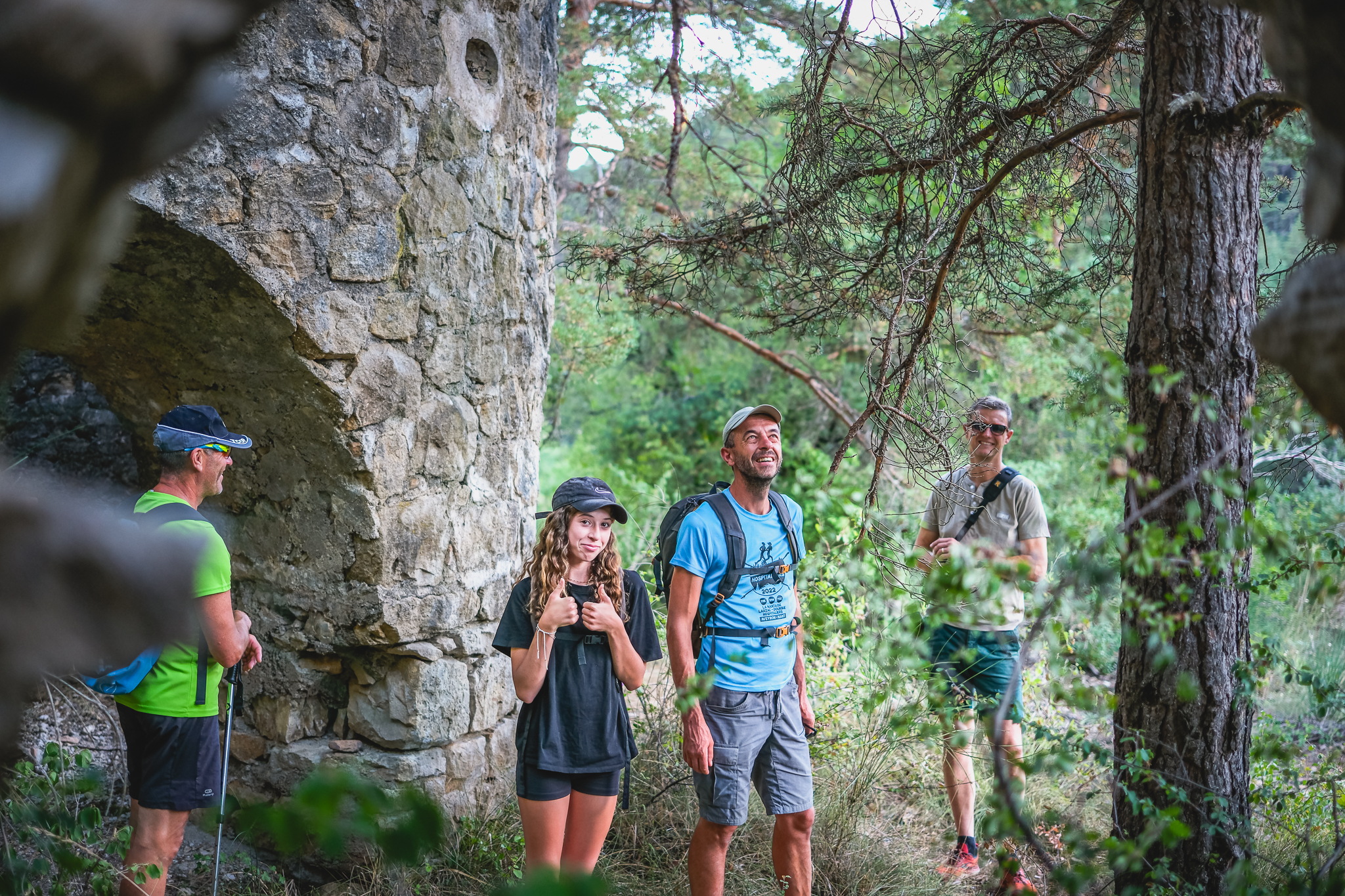
Brante Forest Road
This moderately difficult hike takes you through the forest, among chestnut trees, to the pass called "Col de Brante". After crossing the ridge, a magnificent landscape unfolds before you: the Causse Bégon plateau, the Fabarède (869m), and the edge of the Cévennes mountains. Along the way, a slate quarry and calamine kilns bear witness to the former industries of the Saint-Jean region.
2 points of interest
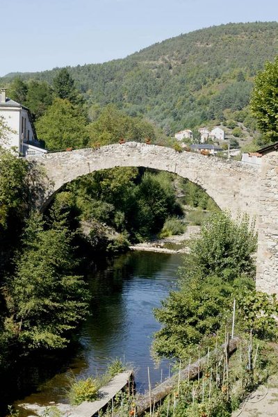
Le pont vieux - Studio Martin  Architecture
The old Bridge
Located in the oldest area of the village, this roman bridge with a single arch spans the Dourbie River.
Dating from the 13th century, it was the main bridge of the village until the 18th century. In the neighborhood of the old bridge, manholes still exist, hiding places dating from religion wars.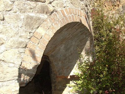
Four à Calamine - Delphine ATCHE  Small heritage
The kilns of Valettes
The kilns of Valettes were inaugurated in 1905, the concession having been obtained the same year by the Metal Mining Company of Aveyron. Its perimeter extends between Saint-Jean du Bruel and Causse-Bégon and the works concern "La Gardiole", the Valettes (above the kilns), "Les Baldy" and "L'Yfer" above the brook called Saint-Gleys between Barjac and the confluence of Valettes. The main ore is constituted by calamine containing 35 to 40% zinc. The five furnaces are intended for enrichment by the so-called reduction method.
As the research progresses, the results soon turn out to be disappointing, because if from 1901 to 1904, 800 tons of calamine are extracted, 390 tons in 1905, 435 tons in 1906, it is treated only 160 tons in 1909. Work must stop in 1914 and will never be resumed.
After their abandonment, the five kilns will serve as a quarry. The three openings of the kilns are each coated with two rows of refractory bricks. These bricks will be used by a local artisan to make small metal ovens for baking bread, to keep cozy warmth under the feet and beds of the inhabitants of St-Jean, and finally to build the heating fireplace of the church. .
Source: written by Claude Bouteiller, revue Causses et Cévennes du Club Cévenol n°4-Août Septembre Octobre 2004
Description
- From the parking area, take Rue du Moulin. Walk past two canneries on the right, then "Noria" on the left, until you reach the old 13th-century bridge that spans the river. Go to the middle of the bridge for the panoramic view and then retrace your steps.
- Take Rue de la Cabrune, formerly known as "Camin Ferrat". Cross the Seingleys road and continue straight ahead to the last houses. Take the Chemin de la Cabrune opposite, a shaded path that climbs steadily between chestnut groves bordered by schist walls. To the right, there was also the largest slate quarry in the region, which ceased operations in 1946.
- At the intersection with the D341 road, follow it to the left for 70 meters, then take the path on the right at the "La Sentinelle" sign. Along the way, observe the service tree, a remarkable tree, which is described on a sign. At the next intersection, turn left towards the Causse Bégon, continuing to the D341 road.
- Follow it to the left for 150 meters, then descend to the bend and take the forest track opposite. At the fork, continue uphill to the right until you reach the Brante pass. From here, you'll see the cliffs of the Causse Bégon plateau, reaching an altitude of 865 meters, the Valettes valley, the highest point of the "Fabarède" peak, and further west, the Roc Nantais.
- At the crossroads, take the hairpin bend to the right and continue to the path on the left. Descend this winding, stony singletrack. Then descend via the forest track on the right (S-bends) to reach the Seingleys stream, which joins the Valettes stream further down.
- After crossing the ford, you can take the path on the right leading to the old calamine kilns (1.2 km round trip). Then continue downhill along the path beside the orchards and the stream to reach the hamlet of Seingleys.
After the "Gîte de la Fabarède" (accomadation), at the crossroads turn left towards St-Jean du Bruel. Take Rue du Pont Vieux, then Rue du Moulin to return to the starting car park.
- Departure : St-Jean du Bruel
- Towns crossed : Saint-Jean-du-Bruel
Forecast
Altimetric profile
Recommandations

Information desks

Tourist Office Larzac et Vallées
Place du Claux, 12230 NANT
Located on the ground floor of the Town Hall (mansion of the 18th century), The Tourist Office welcomes you all year and offers tourist information on the Larzac and its valleys, the department of Aveyron, and also on neighboring counties. Free Wifi access.
Opening hours :
From Novembre to February: Tuesday morning 9:00-12:30
March and October : Tuesday to Friday 9:00-12:30
April : Tuesday to Friday 10:00-12:30 and 14:00-17:30
May, June : Tuesday to Saturday 10:00-12:30 and 14:00-17:30
July and August : every day 09:00-13:00
September : Tuesday to Saturday 10:00-12:30 and 14:00-17:30
Transport
To travel by bus or train, by carpooling Aires de covoiturage and hitchhiking Rezopouce.
Access and parking
40km southeast of Millau via the D809 and D999 (Larzac plateau) or via the D991 and D999 (Dourbie gorges).
Parking :
Source

Report a problem or an error
If you have found an error on this page or if you have noticed any problems during your hike, please report them to us here: