
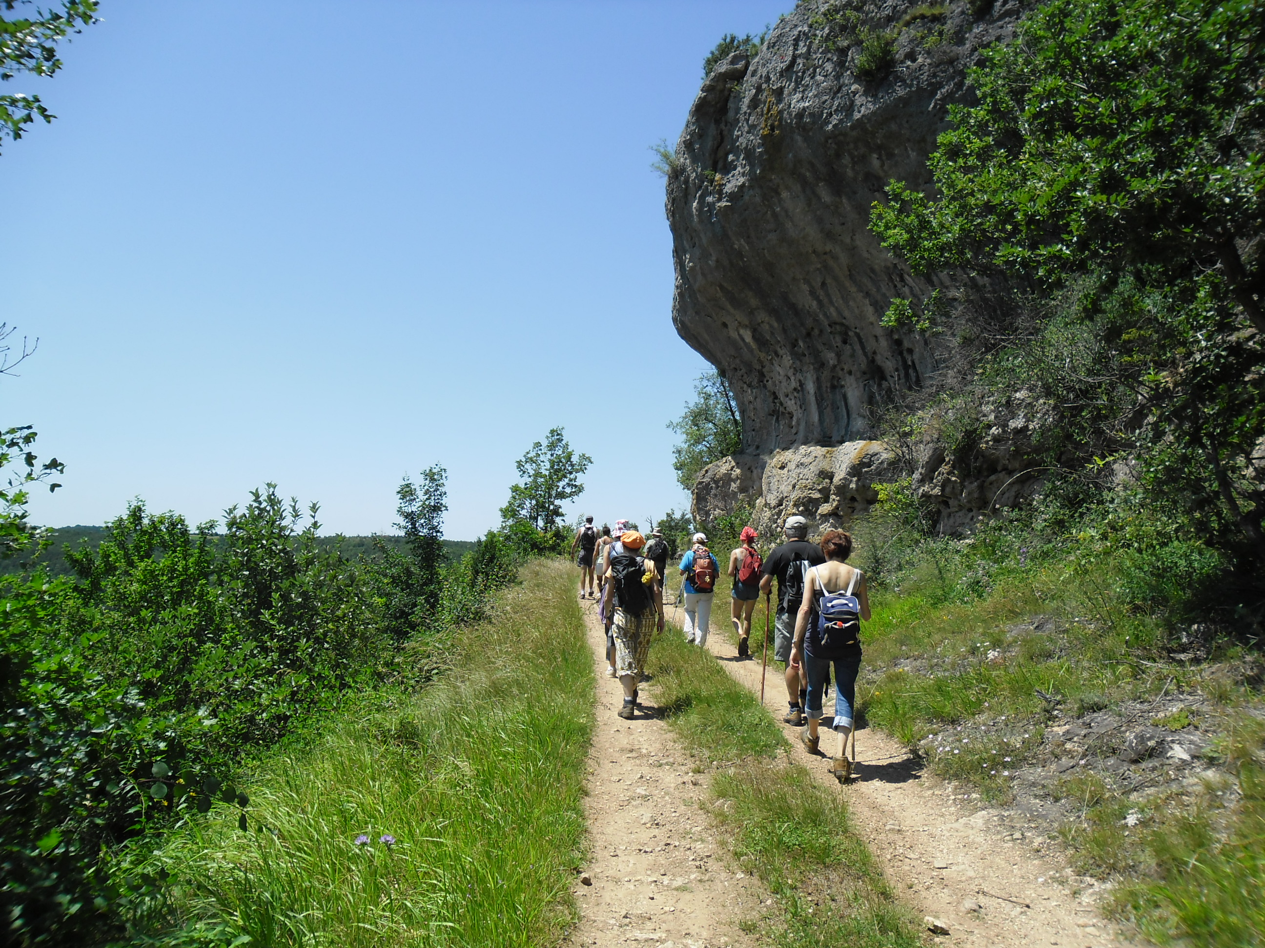
Causse bégon plateau and the Giant's Tomb
The village of Saint-Jean-du-Bruel, in the upper Dourbie valley, is the starting point for a sensational hike to the Causse Bégon plateau, offering breathtaking views of the nearby Cévennes mountains. This loop, dotted with historical remains (calamine kilns, sheepfolds), includes a quick detour to the "Tombeau du Géant", a sizable dolmen!
1 point of interest
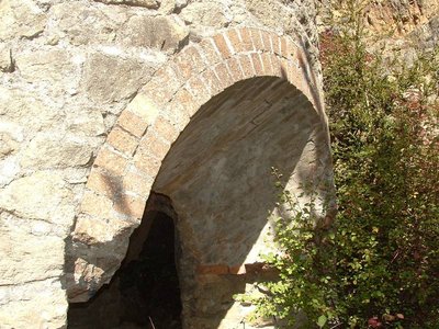
Four à Calamine - Delphine ATCHE  Small heritage
The kilns of Valettes
The kilns of Valettes were inaugurated in 1905, the concession having been obtained the same year by the Metal Mining Company of Aveyron. Its perimeter extends between Saint-Jean du Bruel and Causse-Bégon and the works concern "La Gardiole", the Valettes (above the kilns), "Les Baldy" and "L'Yfer" above the brook called Saint-Gleys between Barjac and the confluence of Valettes. The main ore is constituted by calamine containing 35 to 40% zinc. The five furnaces are intended for enrichment by the so-called reduction method.
As the research progresses, the results soon turn out to be disappointing, because if from 1901 to 1904, 800 tons of calamine are extracted, 390 tons in 1905, 435 tons in 1906, it is treated only 160 tons in 1909. Work must stop in 1914 and will never be resumed.
After their abandonment, the five kilns will serve as a quarry. The three openings of the kilns are each coated with two rows of refractory bricks. These bricks will be used by a local artisan to make small metal ovens for baking bread, to keep cozy warmth under the feet and beds of the inhabitants of St-Jean, and finally to build the heating fireplace of the church. .
Source: written by Claude Bouteiller, revue Causses et Cévennes du Club Cévenol n°4-Août Septembre Octobre 2004
Description
- From the parking area, take Rue du Moulin, passing two canneries on your right, then the old mill "Noria, Maison de l'Eau", until you reach the 13th-century Old Bridge. Take a short detour to the middle of the bridge for a panoramic view of the Dourbie River. Then turn left onto Rue du Pont Vieux.
- At the crossroads, turn left onto the Seingleys road. As you enter the hamlet, take the road on the right, pass "La Fabarède" (a gîte offering seasonal rentals), and continue straight ahead, following the Seingleys stream. After about 1 km, ignore the path on your right that leads to Montagne de Brante and continue straight ahead. The path veers northwest, and 300 meters further on, it runs alongside a series of five calamine kilns, sometimes incorrectly called lime kilns. The mule track ends a few meters from the building on the right, at the level of the black Lias clays rich in fossils, then becomes a path climbing towards the Causse plateau through the oak forest and higher up through the beech forest. It emerges at the edge of a field. Cross it to reach the Œil de Bœuf (829 m altitude).
- Continue to the right on this old path known as the Nant to Dourbies path towards Causse Bégon. After about 500 m, on your left, the sheepfold (a jasse) of La Baumelle is worth a stop, then a sign indicates "80 m to the "Tombeau du Géant" (giant's tomb) (possibility of a round trip to visit this megalithic site). Continue east to the intersection with the RD295 (the hamlet of Causse Bégon is on the left).
- Follow the road to Barjac on the right (remarkable panoramic views of the Cévennes mountains towards Lingas and Mont Aigoual), then turn right again onto the path towards the Barjac farm. About 1 km past the farm, begin the descent back. Another 1 km will bring you to the lime kiln; take a break to visit it and enjoy the beautiful view over the Dourbie gorges. Retrace your steps and continue downhill through the chestnut trees to reach the D341 at a bend.
- Take the D341 to the right for 200 m, then turn left at the St-Jean sign. Continue to the crossroads leading to La Sentinelle (option for a 1.5 km round trip to the viewpoint). Continue left for almost 1 km to rejoin the D341.
Follow it to the left to return to the village (panoramic views of Bruel, the Dourbie river, and St-Jean).
- Departure : St-Jean du Bruel
- Towns crossed : Saint-Jean-du-Bruel
Forecast
Altimetric profile
Recommandations

Information desks

Tourist Office Larzac et Vallées
Place du Claux, 12230 NANT
Located on the ground floor of the Town Hall (mansion of the 18th century), The Tourist Office welcomes you all year and offers tourist information on the Larzac and its valleys, the department of Aveyron, and also on neighboring counties. Free Wifi access.
Opening hours :
From Novembre to February: Tuesday morning 9:00-12:30
March and October : Tuesday to Friday 9:00-12:30
April : Tuesday to Friday 10:00-12:30 and 14:00-17:30
May, June : Tuesday to Saturday 10:00-12:30 and 14:00-17:30
July and August : every day 09:00-13:00
September : Tuesday to Saturday 10:00-12:30 and 14:00-17:30
Transport
To travel by bus or train, by carpooling Aires de covoiturage and hitchhiking Rezopouce.
Access and parking
40km southeast of Millau via the D809 and D999 (Larzac plateau) or via the D991 and D999 (Dourbie gorges).
Parking :
Source

Report a problem or an error
If you have found an error on this page or if you have noticed any problems during your hike, please report them to us here: