Labastide hiking path
La Bastide-Solages
Labastide hiking path
Easy
2h30
6,4km
+252m
-252m
Loop
Embed this item to access it offline
A very fine view over the Tarn valley with the Eco-friendly town of Trébas and the Ambialet tourist site
Description
- This hike starts from the intersection in the village where you take the D555 towards Plaisance for 300 m up to the Lesparro road. Take the left hand dirt road and when you reach the top of a little slope at a crossroads you will see a stone cross, where you take the track to your right. This path goes down to where it joins up again with the D555. Follow the road on your left towards St Sernin for approximately 400m.
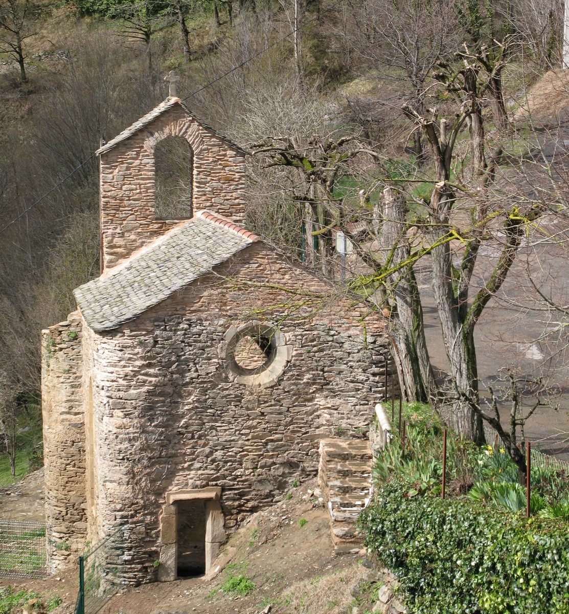
- After the fork with a sign-post indicating the road to Bousquet, take the dirt track to your right that winds its way down a steep slope to the river. As you approach the bank of the river Rance, turn to your right along a track overlooking the river, and walk past the remains of an ancient shelter built in a rock excavation. The path then joins up with the riverbank and stays parallel for about 1 km.
- When the La Bastide houses come into view, take the right hand path that leads into the hamlet, walk through the hamlet and follow the road uphill for 150 m. Be careful not to miss the small path on your left that joins up with the road to Vernière. Follow that road up to the Vernière farm.4
- Walk around the farm to the right and after about 50 m leave the tarmac road and follow a dirt road on your right for approximately 80 m, then turn left. This path will rise gently leading you to a nearby statue of the Virgin Mary. Enjoy a superb view over the confluence of the Rance and the Tarn rivers and over the Tarn valley. To return to Solages, walk along the road up to the village.
- Departure : Village square
- Arrival : Village square
- Towns crossed : La Bastide-Solages
Forecast
Altimetric profile
Recommandations
Box tree moths are active from May to October. During the caterpillar phase, they feed on the leaves of box trees. They crawl down trees and move on long silken threads, although these threads are annoying when hiking they do not pose any health risk
Transport
Travel by bus or train: https://lio.laregion.fr/
Carpooling : BlaBlaCar, Rézo Pouce, Mobicoop, Idvroom, LaRoueVerte, Roulez malin
Access and parking
Labastide-Solages is situated 50 km west from Saint-Affrique and can be reached by the D 999, D 33 and D 555
Parking :
Village square (in front of the cross)
Report a problem or an error
If you have found an error on this page or if you have noticed any problems during your hike, please report them to us here: