
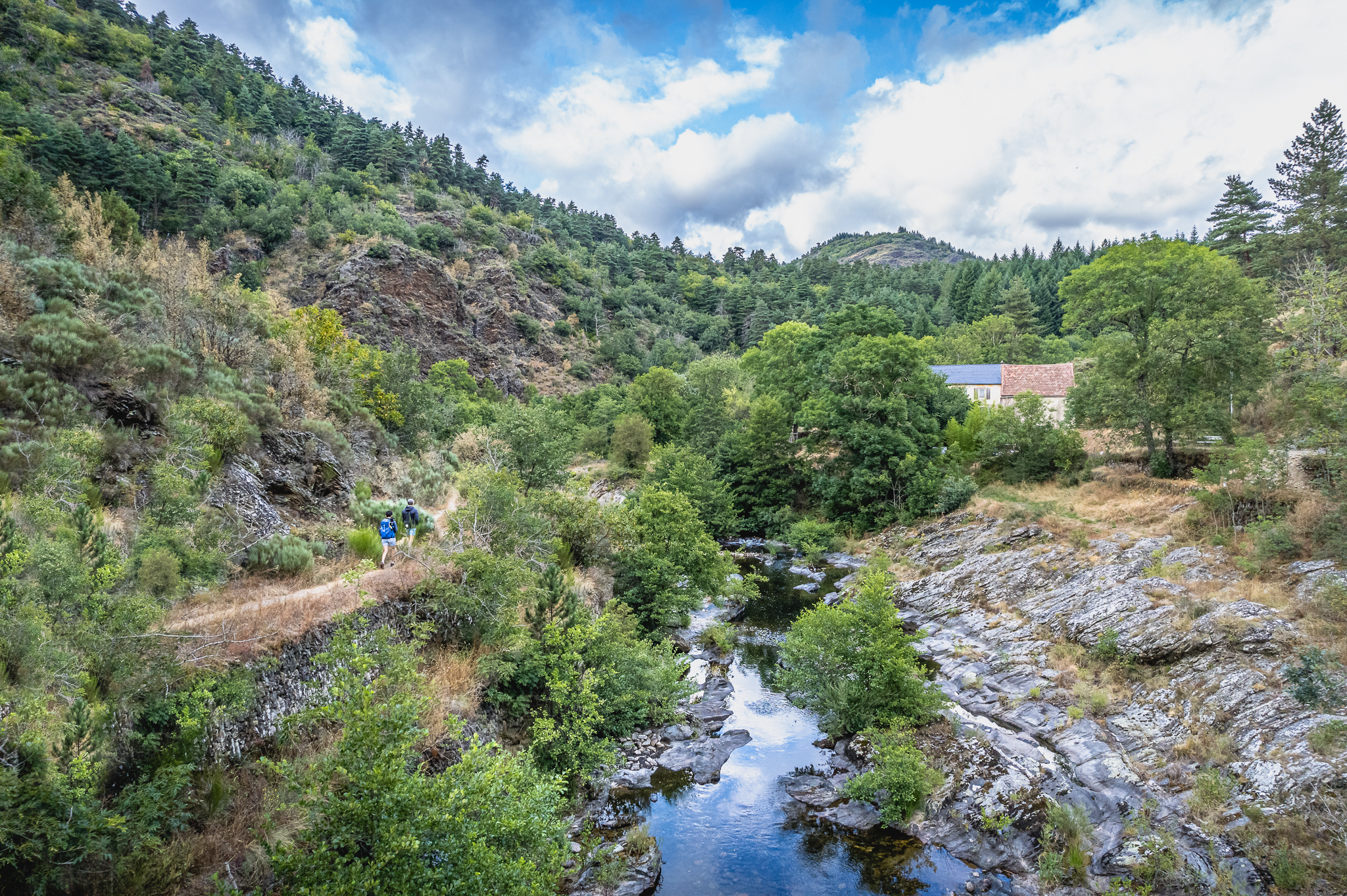
The upper Dourbie Valley via La Rougerie
This hike is a variation of the "Upper Dourbie Valley" circuit: instead of taking the old rural road from Saint-Jean to Trêves, you will cross the hamlet of La Rougerie and then take a path that climbs to La Brunelerie. Again, proceed with caution, enjoying the views... and taking the time for a swim if you feel like it!
Description
- From the parking area, head to the roundabout and follow the road towards Trèves until you reach the hairpin bend called "Le Périgoul".
- Turn right onto the road towards La Rougerie, then in the hamlet, take the path on the left that climbs gradually through schistous terrain with varied and changing vegetation: undergrowth dominated by chestnut trees, and open areas with broom, heather, and Mediterranean rockrose.
- After walking nearly 3 km, at the intersection, turn right towards La Brunelerie. In the hamlet, walk between the houses to reach the path that leads to Le Coulet, which passes above the highest house. Continue along this path for about 900 m before crossing the path that leads to Le Coulet and follow it to the right. Cross the hamlet and continue on the path leading to "Mas Aubert", a former mining area of which little trace remains. Continue along this path, which joins a wide logging track 150m further on.
- Take this track to the left. After about 1km, a large rock is located on the right; go around it or climb it to enjoy a splendid view of Le Tayrac and the Dourbie river (caution is advised when accessing this viewpoint, as the rock can be slippery). Continue along the track for approximately 1.2km.
- Follow a path to the left through the undergrowth and then across some rocks to reach the footbridge of Le Tayrac (proceed carefully over the last few meters before the footbridge). Cross the footbridge and head up towards the hamlet of Le Tayrac, then cross through it and continue to the D114 road. Take this road to the right for approximately 500m to the Tayrac cross.
- Facing this cross, on the inside of the bend, take the "St-Guiral" direction along a very wide logging track, then leave it 800m further on to take a pleasant wooded track on the right, roughly parallel to the D114. After about 1.5km, continue downhill on the track to rejoin the D114.
- At the road, follow it to the left for 70m to take the path on the right through the woods that leads to Le Viala. From Le Viala, take the D114 towards St-Jean du Bruel.
- Turn right to cross the hamlet of Le Bruel and reach the village of St-Jean du Bruel.
- Departure : St-Jean du Bruel
- Arrival : St-Jean du Bruel
- Towns crossed : Saint-Jean-du-Bruel
Forecast
Altimetric profile
Recommandations

Information desks

Tourist Office Larzac et Vallées
Place du Claux, 12230 NANT
Located on the ground floor of the Town Hall (mansion of the 18th century), The Tourist Office welcomes you all year and offers tourist information on the Larzac and its valleys, the department of Aveyron, and also on neighboring counties. Free Wifi access.
Opening hours :
From Novembre to February: Tuesday morning 9:00-12:30
March and October : Tuesday to Friday 9:00-12:30
April : Tuesday to Friday 10:00-12:30 and 14:00-17:30
May, June : Tuesday to Saturday 10:00-12:30 and 14:00-17:30
July and August : every day 09:00-13:00
September : Tuesday to Saturday 10:00-12:30 and 14:00-17:30
Transport
To travel by bus or train, by carpooling Aires de covoiturage and hitchhiking Rezopouce.
Access and parking
40km southeast of Millau via the D809 and D999 (Larzac plateau) or via the D991 and D999 (Dourbie gorges).
Parking :
Source

Report a problem or an error
If you have found an error on this page or if you have noticed any problems during your hike, please report them to us here: