
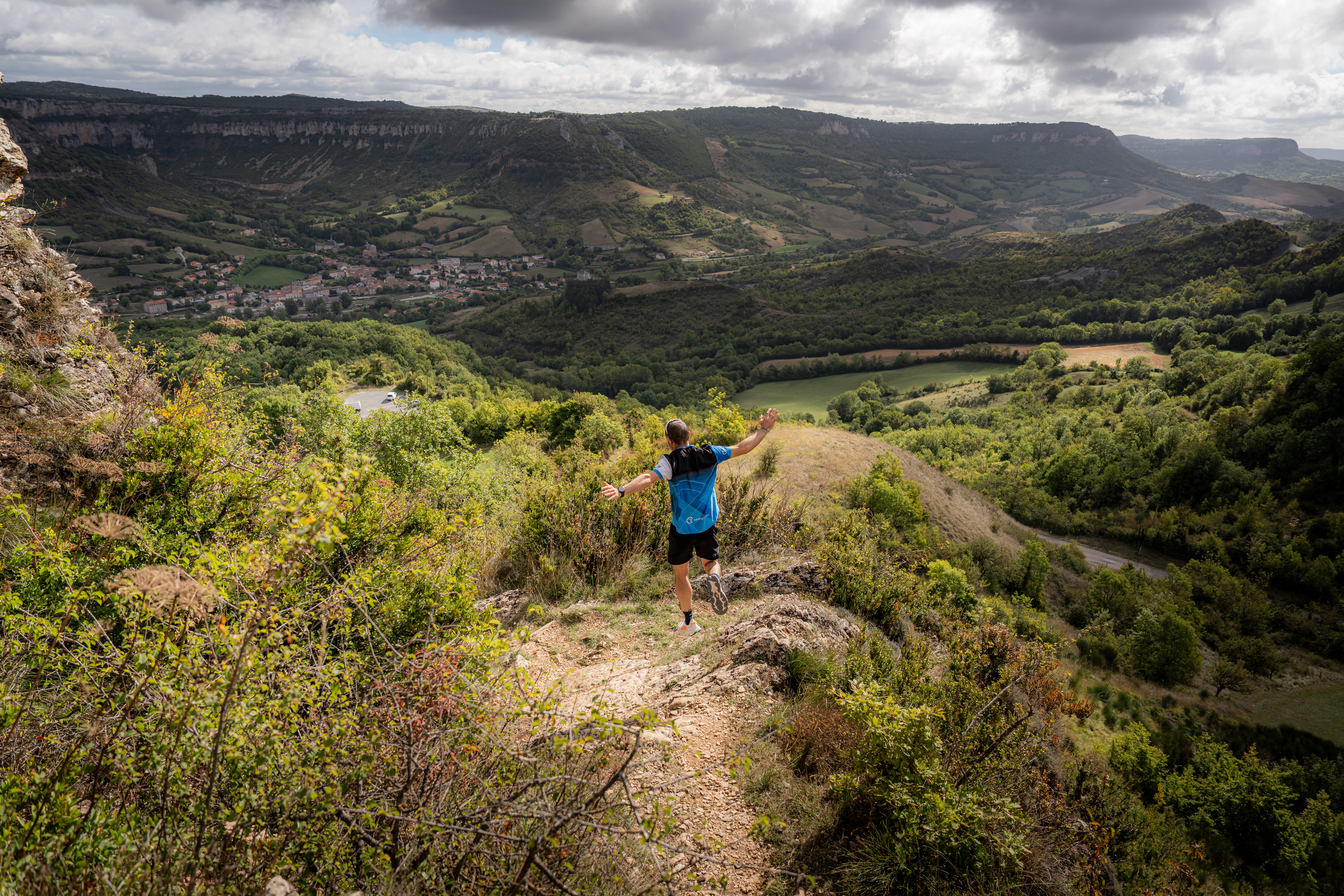
Trail N°26 Roquefort - Combalou
The Échelles Trail, a trail-running hotspot par excellence, the climb towards the Fournials farm to reach the Larzac Plateau, and the descent into the majestic Tournemire Cirque: three stunning and highly technical sections! This is therefore a route not to be taken lightly, through wild landscapes to be savoured with your eyes, just as others savour the delights of Roquefort.
8 points of interest
Bois de Conteynes et parcours de santé - Roquefort Tourisme  Flora
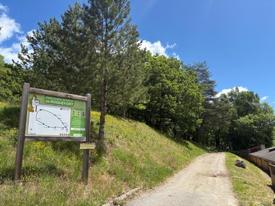
FloraConteynes Wood and Fitness Trail
Conteynes Wood is a dense forest where oaks stand proudly. Nature thrives here, hosting a variety of plants and animals. This area also helps protect the soil and regulate water. To enjoy it fully, a 600-meter fitness trail, which takes about an hour to complete, allows visitors to stroll, relax, and discover the wildlife and plants that make this forest so vibrant.
Menhir du Soulzon - Xavier Waerzeggers  Archeology
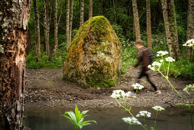
Soulzon Menhir
The Soulzon menhir is a large stone over three meters high, locally called a "menhir," even though it does not display all the usual characteristics of a traditional menhir. This type of standing stone dates back to the Bronze Age, and its exact role in the ancient landscape remains a subject of debate. Some believe it is simply a natural remnant of the Combalou, on which a cross may have been engraved during the Middle Ages, possibly to mark a territorial boundary. Others suggest it could be a prehistoric menhir that was Christianized, a common practice in the region. The two deeply carved crosses on its faces support this latter interpretation.
Pelouses sèches - Xavier Waerzeggers  Agropastoralism
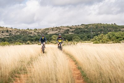
Dry Grasslands
An iconic feature of the Grands Causses landscape, the dry grasslands are the result of centuries of interaction between people and nature. Originating from ancient forests gradually transformed by clearing, grazing, and cultivation, they now support an exceptional biodiversity, including many rare plant and animal species. These open spaces also provide hunting grounds for birds nesting in the surrounding cliffs and gorges.
In late spring, the causses are covered with feather grass whose long stems sway in the wind like a silvery mane. The landscape also bears witness to a long pastoral tradition, with stone clearance heaps (clapas), shepherds’ shelters (jasses), and, a little further on, a traditional livestock watering pond known as a lavogne.
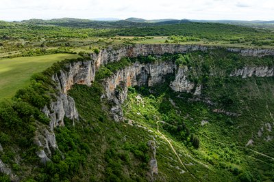
Le Cirque de Tournemire - Xavier Waerzeggers  Geology
Tournemire Cirque
Designated as a Natura 2000 site, the Tournemire Cirque is one of the most remarkable geological landmarks on the western edge of the Larzac plateau. Its dark marl slopes contrast strikingly with the towering limestone and dolomitic cliffs above. Shaped by erosion over thousands of years, this spectacular landscape features dramatic rock formations that attract both geology enthusiasts and hikers seeking breathtaking scenery.

Aphyllanthes de Montpellier - Roquefort Tourisme FloraThe Montpellier Aphyllanthes
The Montpellier Aphyllanthes, also known as the “blue carnation of Montpellier,” is an emblematic plant of the Mediterranean garrigue. Perfectly adapted to dry soils, it blooms from April to June, brightening the landscape with its delicate light-blue flowers, which are highly appreciated by bees. Without leaves to limit water loss, it stands out with its long green stems, well suited to arid climates. In the past, its roots were used to make brushes, highlighting its place in local heritage.
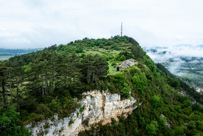
Jasse du Combalou - Xavier Waerzeggers AgropastoralismJasse du Combalou
Jasses were buildings designed to shelter sheep during the summer season. Fairly well preserved, the Jasse du Combalou is organized over two levels. On the ground floor, two sheep pens, one of which is vaulted, housed the animals. Upstairs, a large barn was used to store hay for feeding the flocks during the winter months. Perfectly adapted to life in the highlands and the needs of pastoralism, this type of building provides an important testimony to rural life on the Causses.
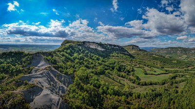
Vue depuis le Plateau du Combalou - Roquefort Tourisme GeologyThe Combalou Plateau
The Combalou Plateau is a spectacular geological site located in the heart of the Roquefort region. Formed around 150 million years ago, when a shallow sea covered the area, this vast limestone landscape was shaped over time by layers of sediment.
Today, the Combalou is best known for its natural caves, which are essential to the production of Roquefort cheese. Crossed by natural fissures called “fleurines,” the plateau benefits from constant natural ventilation that maintains stable temperature and humidity levels. These unique conditions create the perfect environment for the aging of the famous Roquefort cheese.
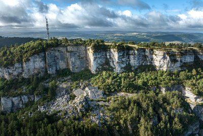
Eboulis du Combalou - Xavier Waerzeggers GeologyThe Combalou scree
The Combalou scree is an impressive rock formation, created by the many tectonic movements that shaped the limestone plateau. These piles of stones are the result of successive collapses and landslides that have shaped the landscape over the centuries. The rocks in this area reflect the region’s geological activity, where erosion has sculpted unique landscapes.
Description
- This pleasant downhill that runs to the bottom of the Soulzon valley, which is a small stream to follow for 1 km, provides you with an efficient warm-up before starting the ascent to the Larzac.
- Things become more challenging once you've passed the old level crossing, with the ascent across this small forest that displays a Mediterranean appearance and fragrance sometimes in summer. The 4 to 5 km forces you to walk due to the steep gradient of the slope coming close to 30%.
- Once you’ve reached the plateau, not far from the lovely Fournials farm, you can catch your breath again before toppling downhill to the Tournemire amphitheatre beautifully crowned with cliffs.
- After you've crossed the village of Tournemire, you tackle the second half of this circuit with the Combalou as a backdrop. You first go through the Bois de Carles, then reach the Aiguières pass to get to Combalou finally.
- You have now rapidly completed your running along the Combalou plateau, here comes the descent of the ladders, one of the most technical routes that can be found in Southern Aveyron with a great passage through this wild jumble of rocks. This section gives to this loop all its character!
- Departure : Roquefort-sur-Soulzon Tourist Office
- Arrival : Roquefort-sur-Soulzon Tourist Office
- Towns crossed : Roquefort-sur-Soulzon, Saint-Rome-de-Cernon, and Tournemire
Forecast
Altimetric profile
Recommandations
Water supply - Energy snacks - Suitable sports shoes - Rain jacket
Bring a supply of water and suitable clothing.
Information desks
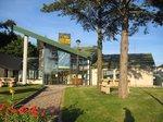
Avenue de Lauras, 12250 Roquefort/Soulzon
Situated in the Grands Causses Regional Natural Park, the cheese village of Roquefort stretches on the hillside over the famous scree of the Combalou Rock, in southern Larzac. The village is at an elevation of 630 m and has 700 inhabitants.
OPENING PERIODS:
The Tourist Office is open all year round:
- In July and August, Monday to Saturday: 9.30 to 18.30, Sunday: 10.00 to 17.00.
- April, May, June, September, October; Monday to Saturday: 9.30 to 12.15 & 13.00 to 17.30, closed on Sunday.
- January, February, November, December; Monday to Friday: 9.30 to 12.15 & 13.00 to 17.00, closed on Saturday and Sunday.
Transport
All the information is available on the Tourist Office website.
Access and parking
Roquefort-sur-Soulzon is located 25 km south-west of Millau via the D992, D999 and D23 towards Albi, and 14 km from Saint-Affrique via the D999 towards Millau.
Parking :
Report a problem or an error
If you have found an error on this page or if you have noticed any problems during your hike, please report them to us here: