
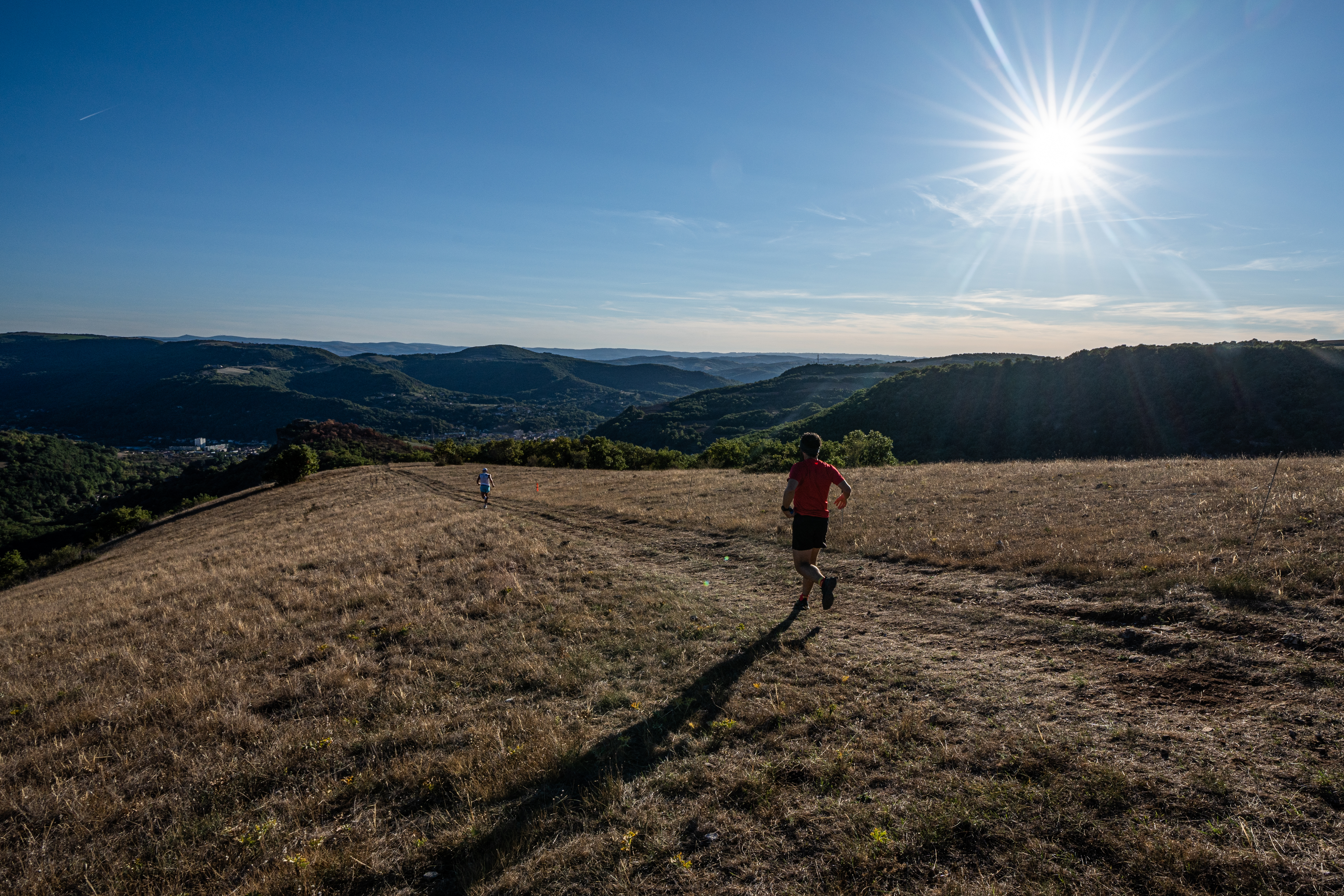
Trail N°24 Saint-Affrique - Caylus
The first bravura piece of this circuit, the ascent to the Caylus rock overlooking Saint-Affrique, sets the tone: a high level of practice and technical skills required at all times, even when you least expect it! Please note that you can shorten this long-distance loop by half or almost half by forking at Cannissac (km 7) to get back to the route at km 16.
1 point of interest
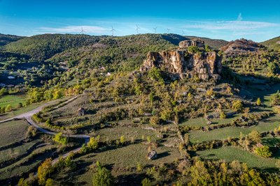
Rocher de Caylus - Virginie Govignon  History and heritage
The Rock of Caylus
Perched at an altitude of 519 meters, the Rock of Caylus once supported the castle of the Counts of Caylus, built in the 11th century. Destroyed in 1238, the castle was the heart of a fortified complex that protected the local population. In 1808, the last remaining sections of the fortifications were dismantled to make way for the road to Tiergues. This site reveals a lesser-known chapter of Aveyron’s feudal history and power struggles.
Description
- At the foot of a beautiful stone-paved lane, the route begins with a steep climb up the Rocher de Caylus, whose reputation is well deserved: 2.6 km and 300 m of elevation gain right from the start. Some might rightly say, “That’s a real challenge !!!”
- The route then eases off as you make your way towards Tiergues and its agricultural plateau, passing through Canissac and Saint-Privat.
- Here, you’ll encounter the technical terrain typical of the Causses, with a descent towards Plo de Moussigny.
- The climb up to Les Cadenèdes from Vailhauzy doesn’t let up the pressure. On the contrary, this beautiful singletrack along the hillside, with gradients ranging from 20% to 30%, adds plenty of spice as you make your way to the top of the Causse (200 m of elevation gain over 1.3 km).
- Catch your breath on the plateau before passing near Soulsou.
- Finally, it’s time for a spectacular finish through a beautiful pine forest following the foothills of the Combesourde ravine. The changes of direction require extra attention over the final 2 km.
- Departure : Calade de Caylus
- Arrival : Calade de Caylus
- Towns crossed : Saint-Affrique and Roquefort-sur-Soulzon
Forecast
Altimetric profile
Recommandations
Water supply - Energy snacks - Suitable sports shoes - Rain jacket
Bring a supply of water and suitable clothing.
Information desks
Saint-Affrique Tourist Office
Boulevard Aristide Briand, 12400 Saint-Affrique
OPENING TIMES:
The Tourism Office is open all year round, the opening hours are:
·July and august:
From Monday to Saturday: 9h – 13h & 15h – 19h
Sunday: 9h – 13h
·From September to June:
From Tuesday to Saturday: 9h – 13h & 14h – 17h
Closed: Sundays, Mondays and bank holidays
From November to April, the office is also closed on Saturday afternoon.
Transport
All the information is available on the Tourist Office website.
Access and parking
Saint-Affrique is situated 31 km southwest of Millau via the D 992 and D999 roads
Parking :
Report a problem or an error
If you have found an error on this page or if you have noticed any problems during your hike, please report them to us here: