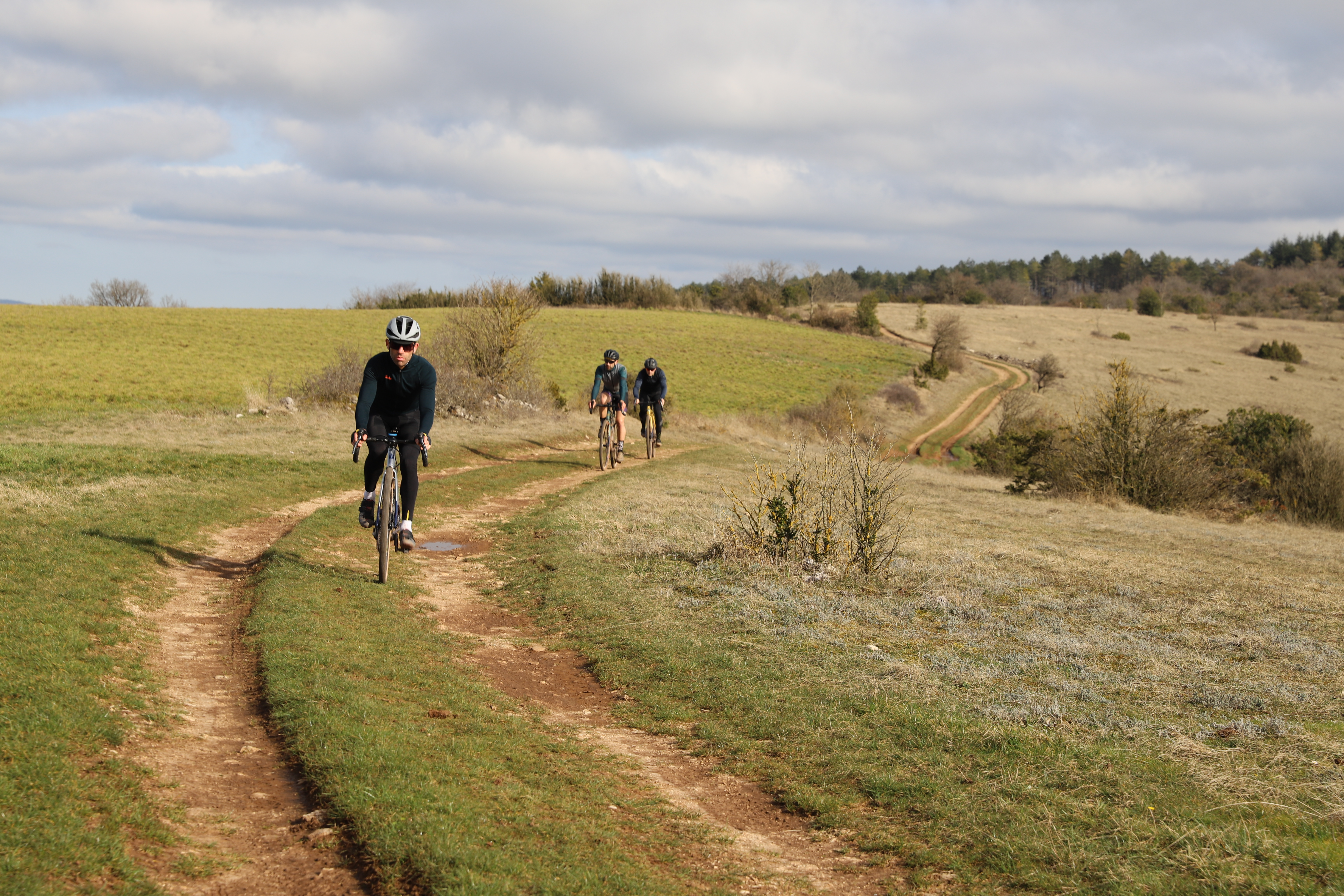
From Causse to Rougier
The circuit features moderate difficulties, only a few sections where you need to shoulder the bike on the Loubière plateau, a surprising natural wall stretching beneath the Causse sky. The loop begins with a green lane and gently ascends to the upland before switching between tracks and roads. An accessible outing throughout colourful landscapes!
2 points of interest
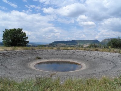
Lavogne de Caussanuejouls - (c) DelphineAtche  History and heritage
Caussaunejouls Lavogne
How a lavogne works is very easy to understand; imagine a gigantic upturned umbrella that collects rainwater!
In the beginning, there was a natural pond with impervious clay soil. This small pond was a real boon for people who quickly set these watering sources up as they were so critical on the causses where water seeps into the cracked limestone. First, they tiled the inside of the pond and finished off the work by laying paving stones around the edge of the pond to preserve the water quality and prevent gullying due to the large flocks trampling the soil when the sheep come to drink.
The pond tiling was made either with lauzes, flat stones or with paving stones laid one after the other.
Once completed, this gigantic upturned umbrella would provide a great variety of animals with a welcoming habitat, just look down over a lavogne and see how it swarms and buzzes with life; what a frenzy of activity!
From this lavogne, you will enjoy a stunning view to the north over the Combalou, a residual mound that shelters the Roquefort maturing caves.
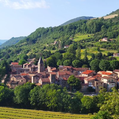
Village de Lapeyre - Roquefort Tourisme History and heritageVillage of Lapeyre
The name Lapeyre means “the stone” in Occitan, a reference to the rocky outcrop on which the village was built. Once part of the Knights Templar commandery in the 12th century, Lapeyre has preserved its medieval character, with narrow streets and old houses clustered around its tower.
Several historic features can still be seen in the village square, including mullioned windows, a medieval tower, and remains of a former convent. The current church, built in 1844, houses a remarkable Virgin and Child statue carved in Rome in 1860 from a single block of Carrara marble.
Lapeyre’s heritage is also closely linked to its textile industry. Established in the 17th century to process wool from the Causses, the former textile mill—still visible from the new bridge—stands as a reminder of an activity that shaped village life for centuries.
Description
- The circuit starts smoothly from Saint-Affrique via the green lane towards St-Jean-d’Alcapiès.
- Then you have to follow a lovely trail that runs through the causse and leads you to Hermilix, where you will enjoy a 360° scenic view before cycling down towards the Sorgues valley.
- Finally, after a long uphill, you will crisscross the Loubière plateau that offers a stunning view over
the Rougier plains and the castel of Montaigut.
Points of interest:
Hamlet of Hermilix and its lavogne (cycling there and back 200m) Km 13
Village of Lapeyre (heritage) Km 25n
Loubière Plateau (scenic viewpoint) Km 36
Distinctive features:
The bike has to be shouldered for 100 m at km 38
Cycling time according to your level of practice: 2h30 to 4h
- Departure : Tourist Office, Boulevard Aristide Briand in Saint-Affrique
- Arrival : Tourist Office, Boulevard Aristide Briand in Saint-Affrique
- Towns crossed : Saint-Affrique, Saint-Jean-d'Alcapiès, Saint-Jean-et-Saint-Paul, Versols-et-Lapeyre, Gissac, and Vabres-l'Abbaye
Forecast
Altimetric profile
Information desks

Saint-Affrique Tourist Office
Boulevard Aristide Briand, 12400 Saint-Affrique
OPENING TIMES:
The Tourism Office is open all year round, the opening hours are:
·July and august:
From Monday to Saturday: 9h – 13h & 15h – 19h
Sunday: 9h – 13h
·From September to June:
From Tuesday to Saturday: 9h – 13h & 14h – 17h
Closed: Sundays, Mondays and bank holidays
From November to April, the office is also closed on Saturday afternoon.
Access and parking
Saint-Affrique is located 31 km southwest of Millau via the D 992 and D 999 roads.
Parking :

Report a problem or an error
If you have found an error on this page or if you have noticed any problems during your hike, please report them to us here: