The Hospitallers trail
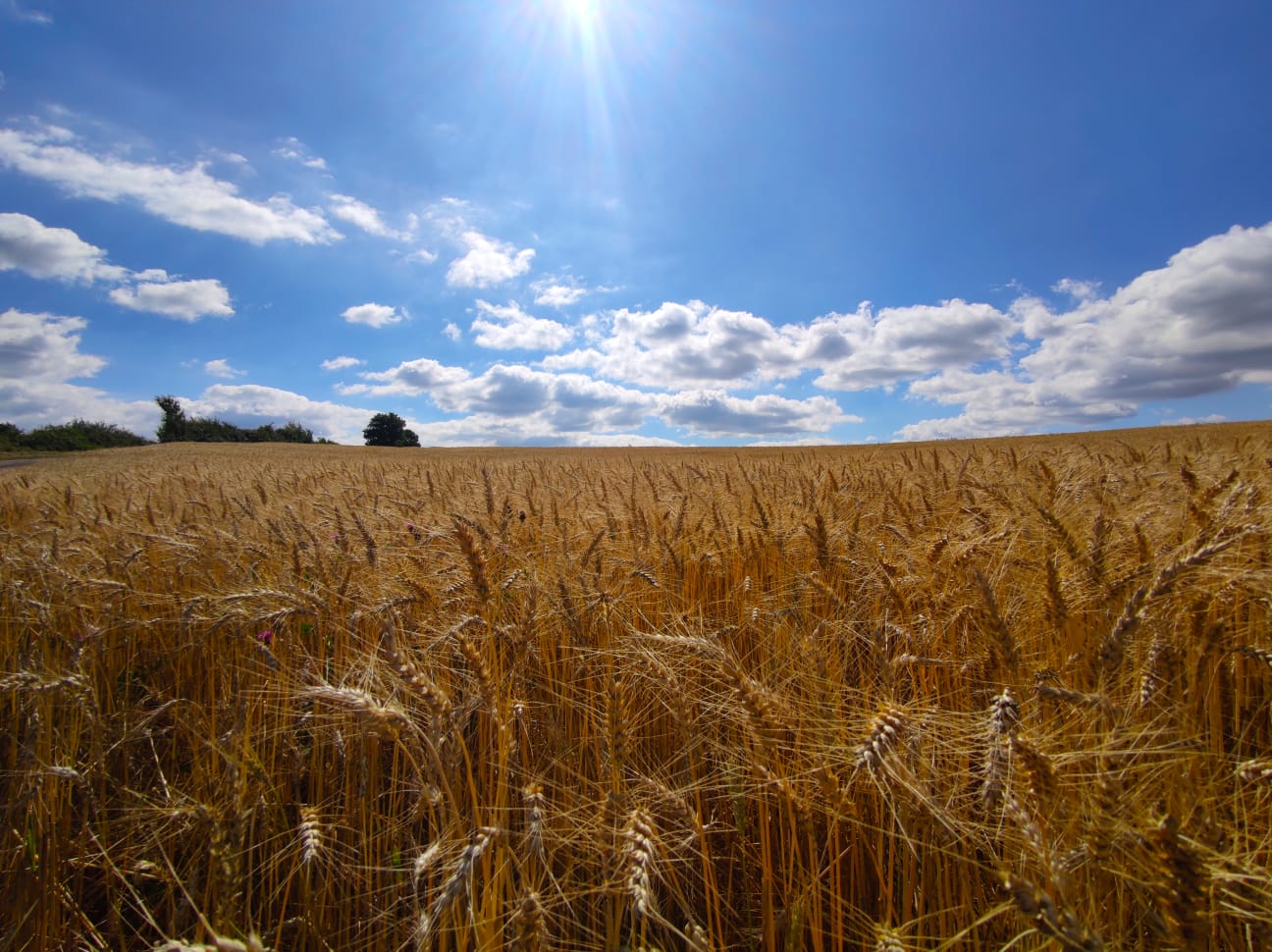
Saint-Félix-de-Sorgues welcomes you to enjoy a hike through an area mostly covered by forests. Follow the path of these medieval soldier monks and explore a rich heritage: old washing place and gothic bridge in the village, forester's house and Borie farm. Before the return to the banks of the river Sorgues, take right a fork that leads to the chapel of Notre-Dame-du-Cayla which is erected on a rocky spur.
1 point of interest
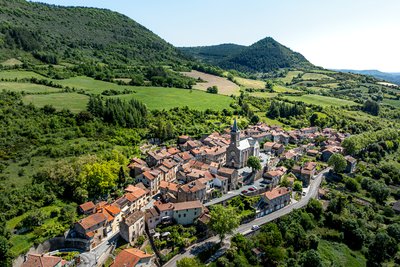
Village de Saint-Félix-de-Sorgues - Xavier Waerzeggers  History and heritage
Village of Saint-Félix-de-Sorgues
Saint-Félix-de-Sorgues is home to the remains of the former commandery of the Knights Hospitaller of the Order of Saint John of Jerusalem, built around 1150 and destroyed during the Wars of Religion in the 16th and 17th centuries. This historic site, located south of the church rebuilt in the 19th century, reveals the ruins of two towers and a curtain wall still visible on the southern side of the 1438 fortified enclosure. The Saint-Jean Gate, the only surviving original entrance, recalls the grandeur and complexity of this once-prosperous site, whose records mention holdings as far as Béziers.
Description
- In the village walk along the main street for 50m towards Cornus up to the point where the street begins to slope down. Take the path on your left that goes up the right side of the vale with a stream running through it. Carry along this path that gradually rises up to the plateau leading to a cross from which a beautiful view over the valley can be enjoyed. Keep on walking along the trail for 300 m up to the junction.
- At the intersection, take the trail to your right and 500 m further on turn left onto a sunken path up to Mascourbe. When you reach the road, walk to your right until you reach the Borie farm.
- A bit further on from the farm, leave the road taking the path that slopes up towards the plateau. Follow this path which turns into a forest road and leads to the Lacalm forester's house.
- Just before the forester's house take the path on your left that leads down to the valley.
- When you reach a small platform, turn to your right and make a detour to Notre Dame du Cayla chapel. From the chapel, walk back to the junction and carry on along a steep downhill track until you reach the D7 road which you follow until you reach Saint-Felix de Sorgues.
- Departure : Saint-Félix-de-Sorgues
- Arrival : Saint-Félix-de-Sorgues
- Towns crossed : Saint-Félix-de-Sorgues and Versols-et-Lapeyre
Forecast
Altimetric profile
Recommandations
Box tree moths are active from May to October. During the caterpillar phase, they feed on the leaves of box trees. They crawl down trees and move on long silken threads, although these threads are annoying when hiking they do not pose any health risk
Information desks

Avenue de Lauras, 12250 Roquefort/Soulzon
Situated in the Grands Causses Regional Natural Park, the cheese village of Roquefort stretches on the hillside over the famous scree of the Combalou Rock, in southern Larzac. The village is at an elevation of 630 m and has 700 inhabitants.
OPENING PERIODS:
The Tourist Office is open all year round:
- In July and August, Monday to Saturday: 9.30 to 18.30, Sunday: 10.00 to 17.00.
- April, May, June, September, October; Monday to Saturday: 9.30 to 12.15 & 13.00 to 17.30, closed on Sunday.
- January, February, November, December; Monday to Friday: 9.30 to 12.15 & 13.00 to 17.00, closed on Saturday and Sunday.
Transport
Travel by bus or train: https://lio.laregion.fr/
Carpooling : BlaBlaCar, Rézo Pouce, Mobicoop, Idvroom, LaRoueVerte, Roulez malin
Access and parking
In Saint-Affrique take the D7 towards Cornus / Vallée de la Sorgues for 15 km. Saint-Félix-de-Sorgues is the 3rd village along the road through the valley.
Parking :
Source

Report a problem or an error
If you have found an error on this page or if you have noticed any problems during your hike, please report them to us here: