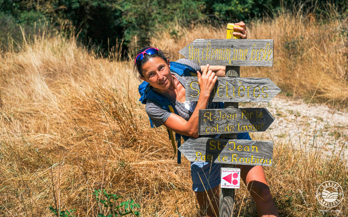
Circuit from St-Jean to Sauclières
From the valley of the Dourbie to the eastern borders of the Larzac, this medium-difficulty loop takes you, through crests and valleys, brooms and undergrowth, to the discreet village of Sauclières. The stream of Roubiou, the old railway Tournemire-Le Vigan and the view on the ruins of the Algues castle embellish this beautiful walk
Description
- Go to the roundabout and follow the "Sauclières" sign to the right. Walk up the street for 250m, then take the Sauclières path opposite (signposted). About 2km further on, the path crosses the road to Algues (castle ruins) and passes near the hairpin bend of the D999.
- Turn left onto the path under the retaining wall of the road. It descends towards the ford that crosses the Roubiou (stream), then climbs quite steeply to reach the road leading to Le Caussanel. Turn left onto the road towards Sauclières for 400m, crossing the bridge over the old railway line. You can take the path on the left after the bridge to reach the tunnel entrance (800m round trip) and retrace your steps. Follow the road to the right until you reach a junction with another road.
- Turn right and make the round trip to visit the village of Sauclières. On the return journey, at the crossroads continue straight ahead to reach the D999, which you should follow to the left for 500 meters.
- Turn right onto the path signposted "La Combe," pass "La Croix des prisonniers"( the Prisoners' Cross), and 150 meters further on, bear left onto the path leading to the pass called Col de Lavaur. Continue along this ridge path. Then cross through extensive chestnut groves to reach St-Jean-du-Bruel.
- Turn left at the intersection with the road to return to the starting roundabout.
- Departure : St-Jean du Bruel
- Arrival : St-Jean du Bruel
- Towns crossed : Saint-Jean-du-Bruel and Sauclières
Forecast
Altimetric profile
Recommandations
Information desks

Tourist Office Larzac et Vallées
Place du Claux, 12230 NANT
Located on the ground floor of the Town Hall (mansion of the 18th century), The Tourist Office welcomes you all year and offers tourist information on the Larzac and its valleys, the department of Aveyron, and also on neighboring counties. Free Wifi access.
Opening hours :
From Novembre to February: Tuesday morning 9:00-12:30
March and October : Tuesday to Friday 9:00-12:30
April : Tuesday to Friday 10:00-12:30 and 14:00-17:30
May, June : Tuesday to Saturday 10:00-12:30 and 14:00-17:30
July and August : every day 09:00-13:00
September : Tuesday to Saturday 10:00-12:30 and 14:00-17:30
Transport
To travel by bus or train, by carpooling Aires de covoiturage and hitchhiking Rezopouce.
Access and parking
40km southeast of Millau via the D809 and D999 (Larzac plateau) or via the D991 and D999 (Dourbie gorges).
Parking :
Source

Report a problem or an error
If you have found an error on this page or if you have noticed any problems during your hike, please report them to us here: