Nant - Cantobre
The loop begins with the ascent of the Roc Nantais, a unique promontory of the Causse Bégon plateau, then winds its way through the Bois de Vellas, a wooded island stretching to the outskirts of Cantobre. The return journey follows the more or less meandering course of the Dourbie river, mostly along the left bank, until the Pont de la Prade (bridge) which spans the river and marks the beginning of the village of Nant.
1 point of interest

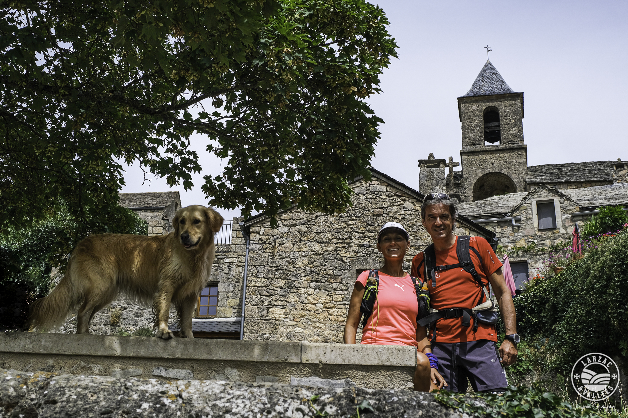
Eglise St-Etienne de Cantobre - Alain Bonnemayre  Architecture
The church Saint-Etienne de Cantobre
The church Saint-Etienne de Cantobre, attached in 1135 to the abbey of Nant, became parish at the end of the 12th century. Only the apse with three sides, lit by three windows, and the span of the choir are Romanesque. The nave and side chapels were rebuilt in the 16th century.
The bell tower houses a bronze bell from 1630, it is on the list of objects classified M.H. November 5, 1943.
Description
- From Place du Claux, head south and after the war memorial, turn left onto Rue Ernest André. Cross the Pont de la Prade (bridge), then leave the road and take the path on the left. After the Pony Club buildings, turn right onto the small path bordered by low walls that climbs up to Roc Nantais.
- Once on the limestone plateau, at a clearing, follow the path on the right that descends to the Roc Nantais. Retrace your steps, then turn right to continue along the small path that runs alongside the rocks. Continue for just over 1 km until you reach the junction with the Cantobre path.
- Turn left; the path descends gradually through the woods for about 3 km to reach the road leading to Cantobre. Continue to the right to discover the hilltop village. Take a short walk through the village and back.
- On the return, after the entrance gate, take the small path that descends to the right, then turn right onto the path that leads to the road to the mill. Follow this road to the left to rejoin the RD145 road. Turn right to cross the bridge over the Dourbie River.
- At the parking area, turn left to follow a path below the road that leads to the intersection of the RD999 and the Vellas road.
- Take the road towards Vellas and, after the small bridge, take the path on the right to go around the campsite, then continue between fields. The path enters the woods and emerges onto a wider track at the intersection with the private track that leads to the Borie Sèche. Continue straight ahead for 1 km to reach the Pont de la Prade and return to the starting point.
- Departure : Nant
- Arrival : Nant
- Towns crossed : Nant
Forecast
Altimetric profile
Recommandations
Information desks

Tourist Office Larzac et Vallées
Place du Claux, 12230 NANT
Located on the ground floor of the Town Hall (mansion of the 18th century), The Tourist Office welcomes you all year and offers tourist information on the Larzac and its valleys, the department of Aveyron, and also on neighboring counties. Free Wifi access.
Opening hours :
From Novembre to February: Tuesday morning 9:00-12:30
March and October : Tuesday to Friday 9:00-12:30
April : Tuesday to Friday 10:00-12:30 and 14:00-17:30
May, June : Tuesday to Saturday 10:00-12:30 and 14:00-17:30
July and August : every day 09:00-13:00
September : Tuesday to Saturday 10:00-12:30 and 14:00-17:30
Transport
To travel by bus or train, by carpooling Aires de covoiturage and hitchhiking Rezopouce
Access and parking
33km southeast of Millau, via the D809 and D999 (Causse du Larzac) or via the D991 (Gorges de la Dourbie).
Parking :

Report a problem or an error
If you have found an error on this page or if you have noticed any problems during your hike, please report them to us here: