Trail running N° 28 Lapeyre – Montaigut castle
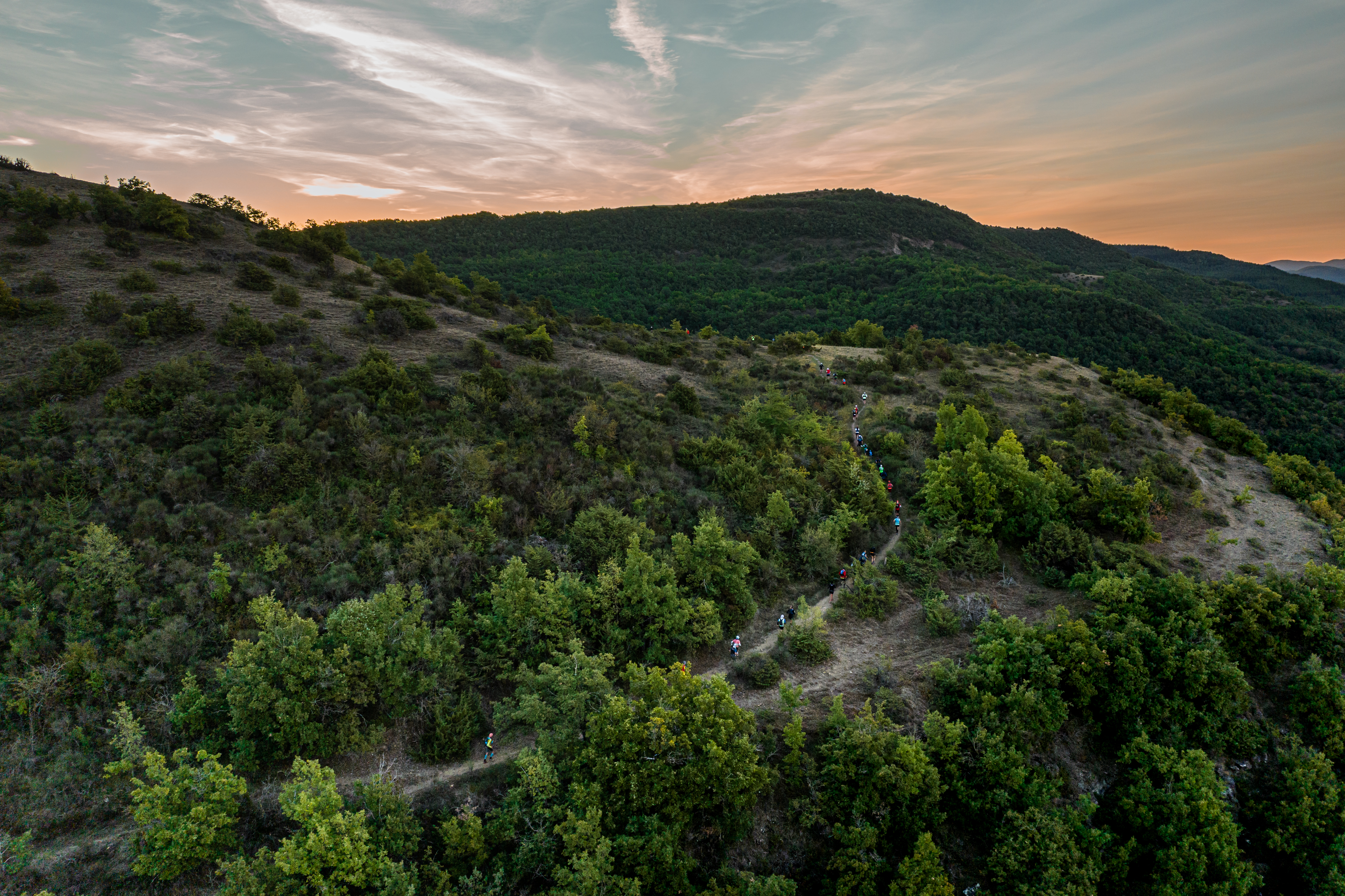
The gradual ascent to the Croix del Pas takes you from the banks of the Sorgues to the Loubière plateau, scattered with juniper trees and stone heaps. There begins the whole range of what a trail can display: steep slopes, breaks in rhythm, twisting and turning paths, up and downhill sections. The detour to Montaigut castle that overlooks a patchwork of red lands and farming lands, is a must.
Description
- The first challenge of this circuit is the 300 m ascent to the Croix Del Pas that must be performed gradually. A wet but quiet and soothing path offers a gentle start on the left bank of the Sorgues and allows you to get the right tempo.
- After 2 km at a slow running pace, the bottom of the bump is already there. The rising slope is made of several landings along a series of small eroded ravines where water flows into micro waterfalls during the wet season.
- At the Croix Del Pas, head towards the castle of Montaigut via a technical and nervous downhill section into a small steep corrie. The tiny village of Montaigut is known for its eco-museum, its old school and its feudal castle, proudly overlooking from this defensive site, the Rougier de Camarès situated down below.
- If you wish to visit the castle, be careful, going there and back is required.
- The rest of the route is quite similar, nervous and rocky, continually offering changes in rhythm. The steep ascending slopes and short technical downhills following one another without respite to finally reach the summit of the Serre des Cabros with again a 300 m positive difference in altitude.
- It is finally downhill time! The Mur de la Loubière is a short local vertical Kilometre with its specific marking, featuring a 400 m difference in altitude over a distance of 2.7 km and which is run in the downward direction. This section displaying a series of technical difficulties is like a giant slalom descent, a favourite and a real treat for downhill lovers.
- Departure : Hiker’s car park – behind the graveyard in Lapeyre
- Arrival : Hiker’s car park – behind the graveyard in Lapeyre
- Towns crossed : Versols-et-Lapeyre, Saint-Affrique, and Gissac
Forecast
Altimetric profile
Recommandations
Water supply – energy food supply – appropriate shoes - rain jacket
Information desks

Saint-Affrique Tourist Office
Boulevard Aristide Briand, 12400 Saint-Affrique
OPENING TIMES:
The Tourism Office is open all year round, the opening hours are:
·July and august:
From Monday to Saturday: 9h – 13h & 15h – 19h
Sunday: 9h – 13h
·From September to June:
From Tuesday to Saturday: 9h – 13h & 14h – 17h
Closed: Sundays, Mondays and bank holidays
From November to April, the office is also closed on Saturday afternoon.
Transport
Getting around by bus or by train: https://lio.laregion.fr/
Carpooling: BlaBlaCar, Rézo Pouce, Mobicoop, Idvroom, LaRoueVerte, Roulez malinAccess and parking
From Saint-Affrique, follow the direction to Cornus. Lapeyre is the first village you drive through in the valley. Head to the right towards Gissac to park your vehicle next to the graveyard
Parking :
Report a problem or an error
If you have found an error on this page or if you have noticed any problems during your hike, please report them to us here: