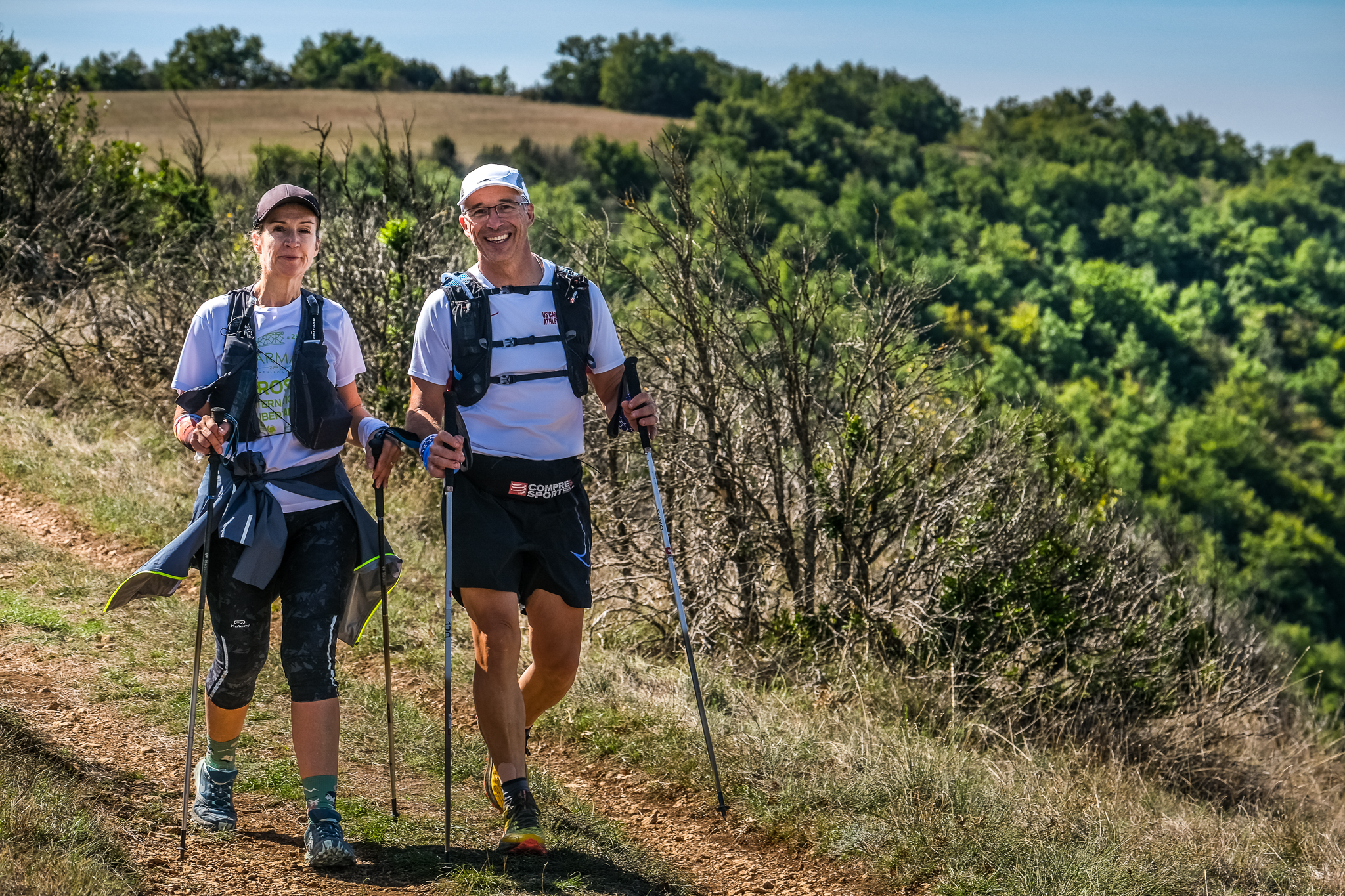
5. From Montaigut to St Affrique
The circuit goes through an area located between the rocky outcrop of Montaigut and the Saint-Affrique plains, between the Dourdou and the Sorgues valleys. Take the ancient road which once connected Camarès to Saint-Affrique. As you walk uphill towards the Croix del Pas pass, enjoy the beautiful views over the rocky spur on which the castle was built and over the Rougier. Once you’ve reached the Loubière plateau, the Sorgues valley opens up allowing you to see Saint-Affrique on the horizon. Go back to Saint-Affrique by walking along dry-stone walls which are remains of an ancient road.
Description
- From the Montaigut castle walk up the road for approximately 200 m, then on a left-hand curve take right the rising track that leads towards the pass of the Croix del Pas. Notice the red soil which is typical of the Rougier. During your ascent, enjoy the scenic view over the castle, the Rougier de Camarès, the Monts de Lacaune. Once on the ridge, head towards the East and leave the descending trail to your right to reach the pass of the Croix del Pas.
- At the cross which marks the crossing from the Dourdou valley to the Sorgues valley, take the path that runs immediately downhill at a right angle to your left. St affrique can be seen far in the distance with a series of beautiful views over the Sorgues valley. Leave several paths on your right and head towards the Guillaumet.
- The path leads to a field, walk to the right around the field on a logging road. Reach a small brook, do not cross it now but instead follow the path that runs to your right and joins up with a trail which goes across the brook.
- A little further on, leave that trail and take a track on your right so that you cross the brook once again and walk along its right bank up to the plain. Take on your left the logging road and soon after, follow the path that runs bellow the Guillaumet.
- Once you get to the Guillaumet, cross a brook, walk up the road to the left for approximately 100 m and take right a path that leads to Vendeloves via the Colombier. Walk through the village of Vendeloves towards St Affrique.
- At the exit of the village, take a descending path to your right that leads to the banks of the river Sorgues. Walk along the river up to the Gravière recreational area, cross the footbridge and take the green lane that allows to reach St Affrique passing by the former railway station.
- Departure : Château de Montaigut
- Arrival : Carpark place Foch, Saint-Affrique
- Towns crossed : Gissac, Versols-et-Lapeyre, and Saint-Affrique
Forecast
Altimetric profile
Information desks

Avenue de Lauras, 12250 Roquefort/Soulzon
Situated in the Grands Causses Regional Natural Park, the cheese village of Roquefort stretches on the hillside over the famous scree of the Combalou Rock, in southern Larzac. The village is at an elevation of 630 m and has 700 inhabitants.
OPENING PERIODS:
The Tourist Office is open all year round:
- In July and August, Monday to Saturday: 9.30 to 18.30, Sunday: 10.00 to 17.00.
- April, May, June, September, October; Monday to Saturday: 9.30 to 12.15 & 13.00 to 17.30, closed on Sunday.
- January, February, November, December; Monday to Friday: 9.30 to 12.15 & 13.00 to 17.00, closed on Saturday and Sunday.
Transport
To get more details, click on: site internet de l'Office de Tourisme and on: Occitanie Transports
There is a bus station in St Affrique (lines 202, 2016, 2018) and a railway station in Tournemire (regional line).
Access and parking
From St Affrique, drive past the Puppet Space, then turn right onto the route du Roc Blanc, go past the Arc en miel beekeepers and continue on that small road for approximately 10 km up to Montaigut castle.
Report a problem or an error
If you have found an error on this page or if you have noticed any problems during your hike, please report them to us here: