
GR736® from Villefort to Pont-de-Montvert
Villefort
1. GR736® from Villefort to Pont-de-Montvert
Very hard
8h
32,5km
+1136m
-857m
Stage
GR
Embed this item to access it offline
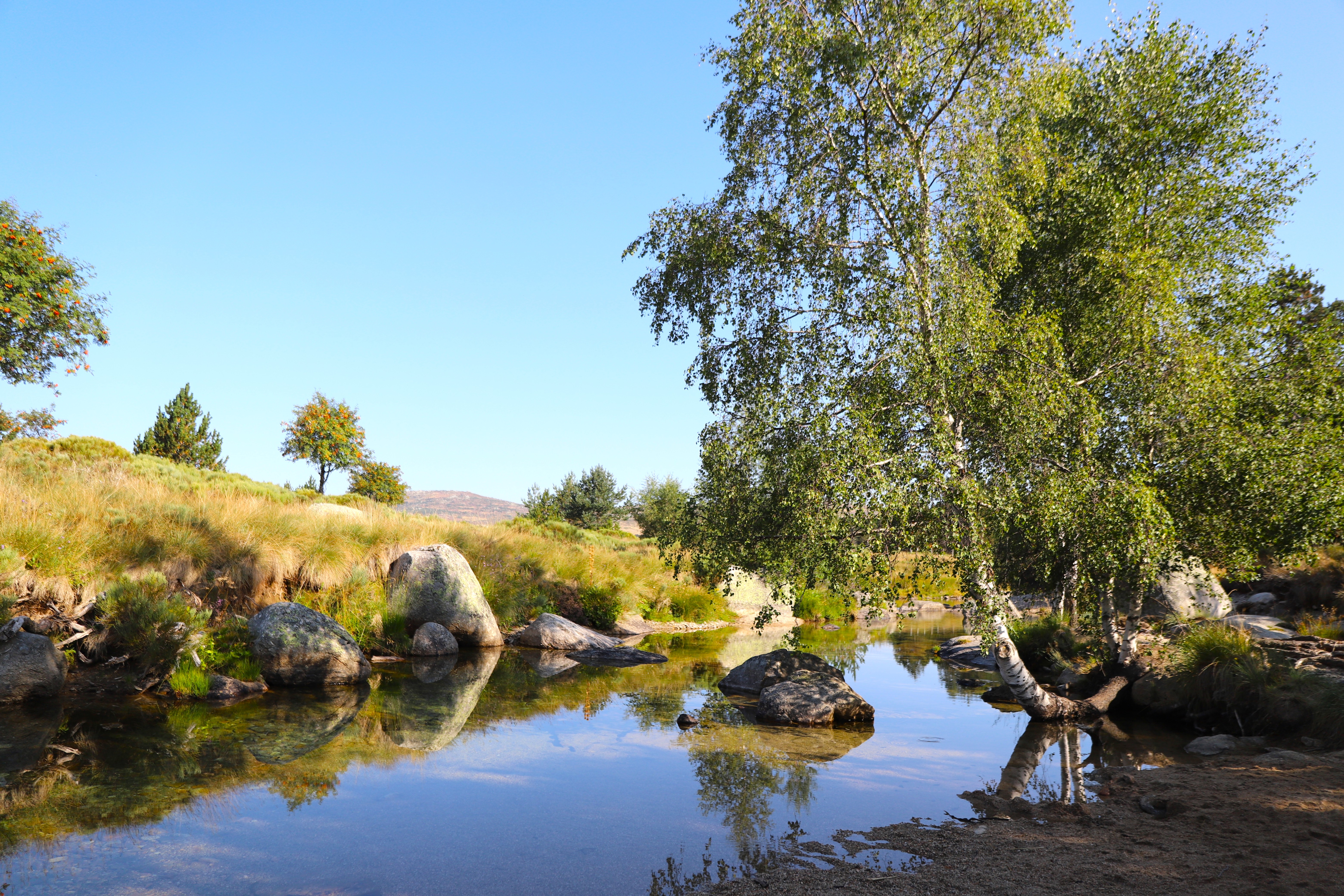
The steep climb to the Col de Rabusat is the main challenge of this route, which runs along the eastern slope of Mont Lozère and then, through schist-covered valleys, leads up to a high-altitude plain dotted with granite outcrops before crossing the young River Tarn downstream from Mas Camargues. Near the summit of Pic Cassini, there is the option of a detour towards the Atlantic–Mediterranean watershed
Forecast
Altimetric profile
Source
Fédération Française de la Randonnée Pédestrehttps://www.ffrandonnee.fr/
Report a problem or an error
If you have found an error on this page or if you have noticed any problems during your hike, please report them to us here: