
GR736® from Pont-de-Montvert to Bédouès
Pont de Montvert - Sud Mont Lozère
2. GR736® from Pont-de-Montvert to Bédouès
Very hard
6h30
24,8km
+698m
-999m
Stage
GR
Embed this item to access it offline
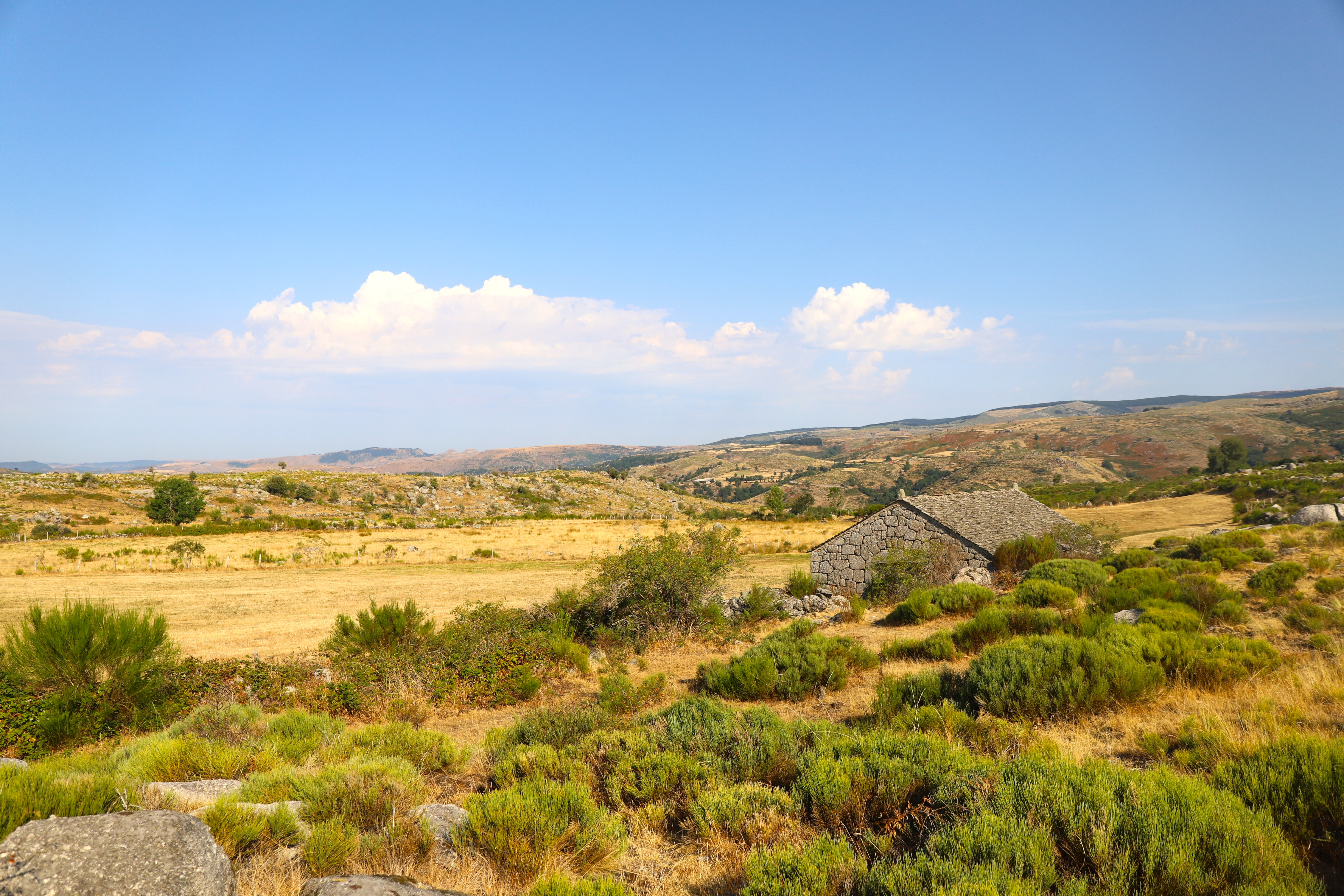
In the south of the upper Tarn valley, explore a landscape of ridges and valleys (the Cévennes’ ‘serres and valats’) which rises to its highest point at the Signal du Bougès, at an altitude of 1,421 metres. Explore the state-owned forests of Bougès and Ramponenche, home to chestnut, beech and conifer trees, on this walk which veers away from the River Tarn only to return to it
Forecast
Altimetric profile
Source
Fédération Française de la Randonnée Pédestrehttps://www.ffrandonnee.fr/
Report a problem or an error
If you have found an error on this page or if you have noticed any problems during your hike, please report them to us here: